

The City of Cleveland’s interactive snow plow tracker map is up and running this year, providing real-time updates on which streets are due to be plowed, but finding it on the city’s website may prove a challenge.
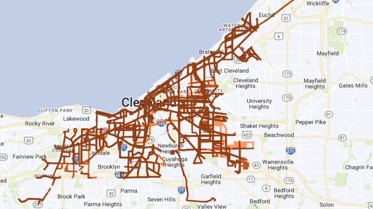
Here is a direct link to the Cleveland Snow Map page, where you can see a color-coded map of which streets are being plowed and when.
Note that the information is reported on a 15-minute delay, and the map is only active during active snow events.
To get to this page from the city’s homepage, you would need to click the City Hall menu item, then Public Works Department link, then click the Divisions menu option on that page, then scroll to the Division of Streets, and finally click the Snow Map link on the left-side menu on that division’s page.
Equipping city plows with GPS and creating an interactive snow map were initiatives Mayor Justin Bibb spearheaded upon taking office in 2022.
However, the link to the snowplow tracker on the page outlining Bibb’s Winter and Snow Plan does not function, and searching the city’s website for terms including “snowplow tracker” and “snow map” do not yield results.
Again, the Snow Map is here, and we recommend you bookmark it for easy access as you plan your commute.
