Summary:
The best day this week to get some yard Fall clean-up done will be Thursday. We will stay all afternoon with a few peeks of sunshine. Temperatures will climb into the middle 60s Thursday afternoon with increasing clouds, winds, and eventually rain. Keep the rain gear handy for this weekend! Waves of rain will be likely Thursday night, Friday, and Saturday.
Set-Up:
An area of low pressure near the Mississippi river valley will lift Northeast toward the Ohio River Valley through Saturday. Rain is expected to spread across the area from the SW to NE by late Thursday/early Friday.

Threats:
Severe weather is not likely, but there will be periods of moderate to heavy rain. This may produce flooding, especially in poor drainage areas impacted by recent rains. Expect about 0.75-1.50'' over the next few days with locally higher amounts. Gusty winds are expected (20-25 mph) as well. A Lakeshore Flood Watch has been issued by the National Weather Service for Lucas, Ottawa, Sandusky, and Erie counties. This watch is in effect from 5 p.m. Thursday through Saturday morning. It is possible the watch may be upgraded.

East-northeast winds will continue to slowly increase into the early evening which may cause water levels to rise. Winds may briefly become southeasterly tonight and water levels may lower for a short duration. East-northeast winds will increase again on Friday into Friday night which may cause the highest lakeshore flooding threat. Numerous roads may be closed due to flooding. Low-lying property including homes, businesses, and some critical infrastructure may be inundated. Some shoreline erosion may occur. If travel is required, allow extra time as some roads may be closed. Do not drive around barricades or through water of unknown depth. Take the necessary actions to protect flood-prone property.
LAKESHORE FLOOD WATCH: Lucas, Ottawa, Sandusky, Erie Counties from 5 pm today through Saturday morning. Roads may be closed & shoreline erosion is possible. ENE winds increase today & may cause water levels to rise. The highest flooding threat will likely be on Friday. pic.twitter.com/8QdFbGo28I
— Katie McGraw (@KatieMcGrawx) October 28, 2021
Timing:
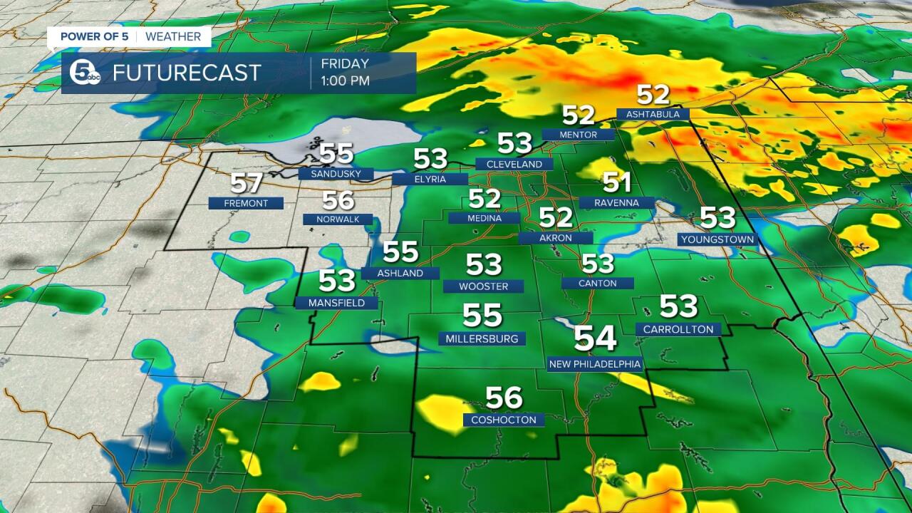
Expect a few showers in our southern and western communities this evening. Rain will increase overnight and become widespread. Steadier rain arrives on Friday. Periods of moderate to heavy rain are expected. The bus stop and morning drive will likely be very soggy on Friday morning. We will have dry time between waves of showers. Expect scattered showers to linger into Saturday as moisture wraps around the low pressure and it moves over the Great Lakes. Lake effect showers look possible on Sunday - especially early in the day. Any rain on Sunday looks most likely early. Scroll through the images of Futurecast to get an idea about coverage and timing. Be sure to join News 5 for the latest updates this evening with Mark Johnson and early Friday with Trent Magill!