

CLEVELAND — A very unsettled, wet, chilly, and windy pattern will be setting up across Northeast Ohio for the middle of the work week. An upper-level trough will be dropping in across the Great Lakes late Tuesday into the day on Wednesday.

Ahead of the upper-level low, a trough will swing through Tuesday evening. This will bring more scattered rain and even isolated storms to the region before Lake Effect Rain takes shape.

Heavy rain will be possible as the trough moves through, along with strong winds. Isolated damaging, severe wind gusts (60 mph or higher) will be possible this evening. A marginal risk for damaging winds is in place for most of the region for the evening hours (5 to 10 p.m.).

As colder air moves over a warm Lake Erie, the difference in temperature from the lake through the atmosphere will provide instability for the isolated severe wind gusts to occur. This instability will also bring about the threat of lightning, hail, and/or graupel (soft hail) this evening in a few areas.
Wind gusts will begin to pick up across the area, as the upper-level low moves in behind the trough swinging through this evening.

Early Wednesday, wind gusts of 20 to 30 plus will be possible, along with lake effect rain beginning to develop.

It will continue to be gusty and rainy through the majority of Wednesday, as the lake effect begins to ramp up.


The good news is that most of the heaviest rain will be relegated to our northeastern communities in the traditional snowbelt. Lightning, hail, and/or graupel will be possible at times with the band of lake effect rain. Outside of the main band or rain, shower chances will be few, but winds will remain strong through the day.


By the end of the afternoon into the evening, there could be a brief break in the rain band in the snowbelt, but winds will remain gusting in excess of 20 to 30 mph.
Rain chances will linger into the overnight on Wednesday and into the morning on Thursday.


Rainfall totals will be highest in our northeastern communities, where some areas could see well over an inch to two inches plus before the end of Thursday morning.

Temperatures will be WELL BELOW average across the region for the middle of the week, as many locations will be stuck in the 40s for most of the day on Wednesday. Here's a look at temperatures from Tuesday evening through Wednesday evening. Brrr!

The good news is that we will gradually begin to dry out by Thursday afternoon through the day on Friday as the upper-level trough moves out of the area. Temperatures will begin to return to more seasonable norms by the middle of next week.
Want the latest Power of 5 weather team updates wherever you go? Download the News 5 App free now: Apple|Android
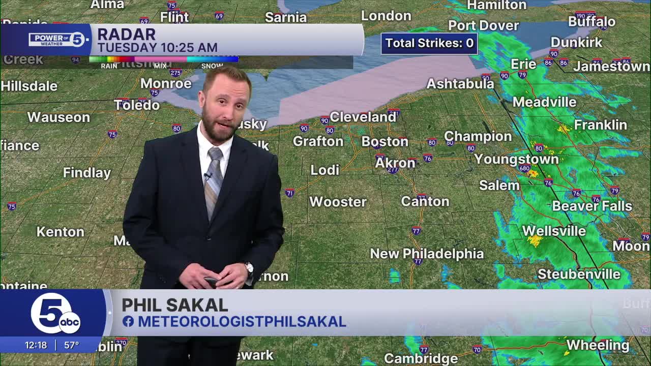
Click here to view our interactive radar.
Follow the News 5 Weather Team:
Trent Magill: Facebook & Twitter
Katie McGraw: Facebook & Twitter
Phil Sakal: Facebook & Twitter
Allan Nosoff: Facebook & Twitter
