


CLEVELAND — Here we go again...
Another Freeze Warning in place for most of Northeast Ohio from 8 p.m. Monday evening through 10 a.m. Tuesday.

Temperatures will drop into the lower 30s and 20s across the region. This will be of concern for plants left outside. If you have any vegetation that you want to keep alive, bring it indoors or cover it.

Across Northeast Ohio, we can still see a freeze into late April and a frost into early May! So you'll need to be patient as you get your gardens going!

We've seen a frost as late as the start of June!
To clarify, a freeze is temperatures of 29º - 32º, and a frost is from 33º- 36º, with a hard freeze defined by a temperature of 28º (or colder).
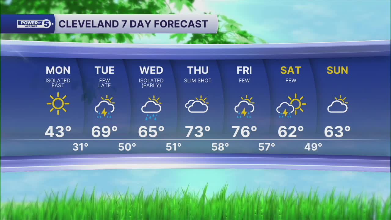
The good news is that by Tuesday afternoon, it will be warming up once again! Take a look at the forecasted high temperatures for the region on Tuesday:

Some areas will be into the 70s by the end of the afternoon on Tuesday! So that is around a 40° jump in temperature from early morning to late afternoon! Stronger southern flow and wind gusts of 30 mph will bring this spike in temperatures to Northeast Ohio! So, just need to wait 24 more hours before we return to the regularly scheduled season!
Want the latest Power of 5 weather team updates wherever you go? Download the News 5 App free now: Apple|Android
Click here to view our interactive radar.
Follow the News 5 Weather Team:
Trent Magill: Facebook & Twitter
Katie McGraw: Facebook & Twitter
Phil Sakal: Facebook & Twitter
Allan Nosoff: Facebook & Twitter
