


Although we didn't get a "White Christmas," we had a snowy and cold end to 2025 and the start of 2026 in Northeast Ohio.
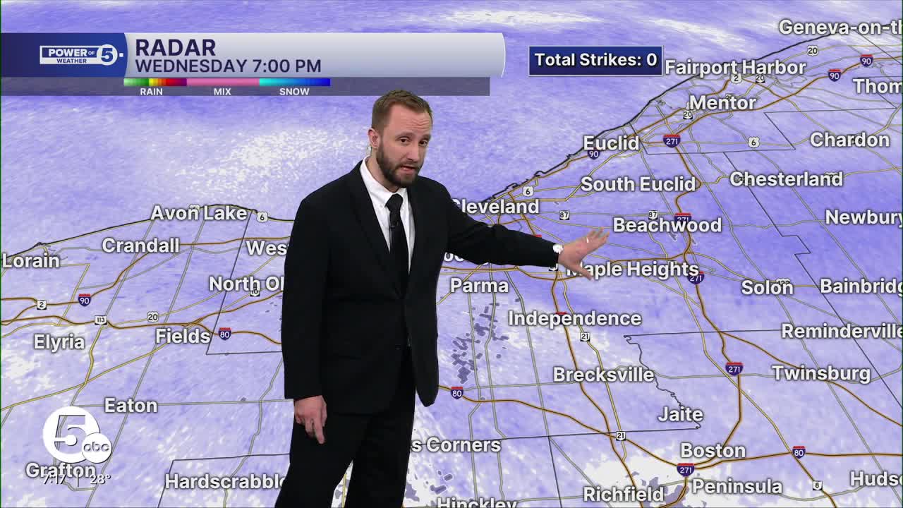
Power of 5 Meteorologist Phil Sakal gave updates on Wednesday night's snow and cold temperatures across the area as many prepare to celebrate the new year.
WATCH:
A Winter Weather Advisory has been issued for Ashtabula County from 7 p.m. Thursday to 1 p.m. Friday.
The City of Maple Heights issued an Emergency Snow ban Wednesday night.

Widespread snow moved in overnight Tuesday into Wednesday.


One to three inches of accumulation was expected, with higher totals expected in the snowbelt region of Ashtabula and Lake counties.

A squall was set up over the lake and impacted the shoreline of the primary snowbelt.

This was an effective snowmaker, with 4 to 8 inches possible in the areas of Lake and Ashtabula counties closest to the shoreline.

A cold front moved through the region by noon, bringing more snow, beginning in the afternoon and continuing through the evening on Wednesday (New Year's Eve). It impacted travel across the region.

As the evening hours approached, snow chances increased. Accumulations ranged from 1 to 4 inches across the region during most of the evening hours.

The good news is that the widespread snow will begin to taper off as we get closer to midnight and ring in 2026.

The bad news is that it will be much colder as we get closer to midnight across Northeast Ohio.

Accumulation was tracked between the end of Tuesday and the start of 2026 on Thursday, along with much colder temperatures.

Potential snow accumulations will be into the half-foot to a foot plus range for most of the snowbelt region, with areas outside of the snowbelt under half a foot to a couple of inches.
Stay up to date on the weather and road conditions for holiday festivities across the region, and stay safe!
Want the latest Power of 5 weather team updates wherever you go? Download the News 5 App free now: Apple|Android
Click here to view our interactive radar.
Follow the News 5 Weather Team:
Trent Magill: Facebook & Twitter
Katie McGraw: Facebook & Twitter
Phil Sakal: Facebook & Twitter
Allan Nosoff: Facebook & Twitter
