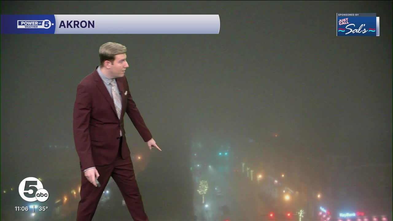


The National Weather Service has issued a DENSE FOG ADVISORY for much of Northern Ohio, in effect through 11 a.m. Monday. The only counties in our viewing area not under this alert are Ottawa and Sandusky counties.
Visibility is forecast to drop below a quarter-mile, often overnight, leading to very poor visibility and travel impacts on the roads and at the airports. The fog forming overnight is due to a warmer airmass moving in on top of a very cold ground, with little or no wind to "mix" the air and prevent the fog from forming. This kind of fog is more common later into the Spring because of warm surges that bring temperatures to near-summer levels while the ground is only starting to catch up. The same can happen during the winter, as the last couple of days have seen near-50-degree temperatures while there is an active snowpack on the ground, keeping it much colder.
Closer to the lakefront, a lake breeze should lessen the temperature contrast and "mix" the air enough to prevent dense fog from forming, especially in the counties not under the alert. Patchy fog is still expected, even close to or right at the lakefront.
It is very important to *not* turn on high beam lights, as that light can disperse and affect oncoming traffic, leading to accidents. Keep extra distance between you and the car in front of you. And when in doubt, reduce speed. That extra split second with poor visibility can make a significant impact.
Want the latest Power of 5 weather team updates wherever you go? Download the News 5 App free now: Apple|Android
Click here to view our interactive radar.
Follow the News 5 Weather Team:
Trent Magill: Facebook & Twitter
Katie McGraw: Facebook & Twitter
Phil Sakal: Facebook & Twitter
Allan Nosoff: Facebook & Twitter
