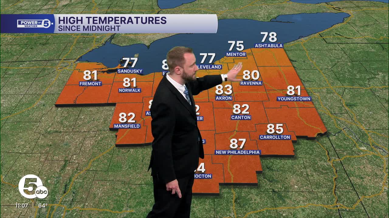


CLEVELAND — You may have noticed we have not seen much rain across Northeast Ohio in the last several weeks. As of writing this article, Cleveland has only seen 0.23" for the month of September.
This is the driest start to the month of September in Cleveland since 2013, when we had only seen 0.23" of rain by the middle of the month. That year, we ended up receiving nearly 2" of rain by the end of the month.
In the last 25 years, Cleveland has seen eight above-average seasons, with the last being in 2020. The average for September is 3.93", which is the highest for the year. Yes, you read that correctly, September is, on average, our rainiest month in Cleveland. Some of this is due to tropical storm and or hurricane remnants moving into the region, as September is the peak of hurricane season in the Atlantic.
If we go to the other side of the spectrum and look at the wettest September in Cleveland, we have to go back to 1996. Cleveland received 11.05" of rain, with nearly 5" falling on Sept. 7 in that year. This was due to the remnants of Hurricane Fran moving into the region after it made landfall in the Carolinas earlier that month.
So with the Atlantic quiet so far, what is helping to keep the long stretch of dry and sunny conditions across Northeast Ohio!?
Well, there is a "Blocking Pattern" in the upper atmosphere, called an Omega Block. It's called that because it looks like the Greek letter Omega (Ω).

See how the H is over the Great Lakes? Well, that is high pressure; it is keeping our weather warm and sunny around NEO. But to the west and south, there are Ls. These are areas of low pressure, and they are keeping clouds as well as rain chances across the upper Midwest and Carolinas.
This pattern is like a traffic jam in the atmosphere, and it does not allow for systems to move across the region quickly, thus the term "Blocking Pattern". This pattern can last for days or even a week plus.
The dry and warm weather is great to get outside and enjoy, but we do need rain, as the recent drought monitor shows.

Deficits over the last 30 days have been well over an inch to nearly two and a half inches across NEO.

Models are suggesting the dry weather will stick around through the end of the work week. That will keep NEO dry, warm and sunny for the next five to nearly seven days.
The driest September on record was in 1908, with 0.48". The last time we saw under an inch of rain in September was in 2023, with 0.77".
How will September of 2025 shake out? Only time will tell.
Want the latest Power of 5 weather team updates wherever you go? Download the News 5 App free now: Apple|Android
Click here to view our interactive radar.
Follow the News 5 Weather Team:
Trent Magill: Facebook & Twitter
Katie McGraw: Facebook & Twitter
Phil Sakal: Facebook & Twitter
Allan Nosoff: Facebook & Twitter
