


Some areas enjoyed their first 80s of the year, which brought extra fuel for thunderstorms to pop and produce severe weather throughout Sunday.
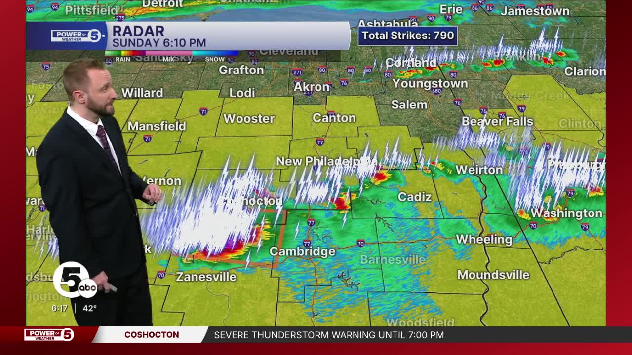
Power of 5 Meteorologist Phil Sakal was live tracking storms across the area Sunday night:
WATCH:
It is not true Ohio spring weather without a wacky weather day like on Sunday.
Viewer footage:
Earlier on Sunday
Location. Location. Location. It all depends on where you are, for the types of impacts to expect.
The simple explanation is: the farther south you live, the higher the chance for severe storms and severe impacts. There is just more storm energy, which starts with plenty of heat. Highs near Coshocton could soar to 85 degrees before the storms arrive.

If you live along the lakeshore, do not expect severe storms. Instead, expect fluctuating temps through the morning, peaking in the 60s or low 70s around noon, then rapidly dropping to the 40s by the afternoon. There will be a couple of drenching, windswept downpours that roll through, but it won't be severe.

The biggest threat from these severe storms is LARGE HAIL. Not every setup is the same, and Mother Nature has a different set of ingredients for each storm. In this case, the big temperature gradient with the lake breeze will cause large hailstones to form and fall wherever storms turn severe. The NWS says hail larger than "golf ball-sized" is likely in any severe storms.

As for the timing, storms are most likely to be severe between 4 p.m. and sunset.
Want the latest Power of 5 weather team updates wherever you go? Download the News 5 App free now: Apple|Android
Click here to view our interactive radar.
Follow the News 5 Weather Team:
Trent Magill: Facebook & Twitter
Katie McGraw: Facebook & Twitter
Phil Sakal: Facebook & Twitter
Allan Nosoff: Facebook & Twitter
