

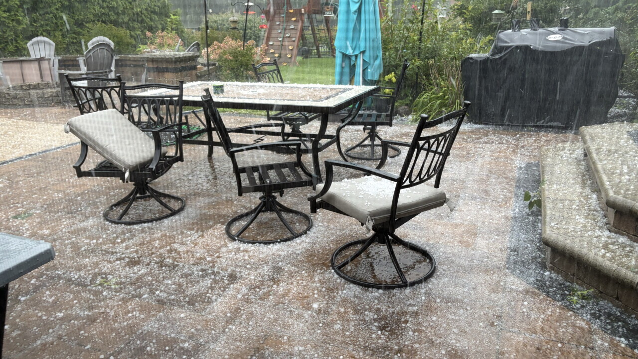


Multiple rounds of storms are expected to move through Northeast Ohio on Saturday, bringing damaging wind gusts, heavy rain and lightning.
The National Weather Service issued many watches and warnings that have since been cancelled.
Heavy rain was the biggest concern, especially where storms will track repeatedly over the same areas, prompting localized flooding.
Do you have any photos or videos to share? You can submit them below:
Storm timing has focused on Saturday afternoon and evening, with a couple of possible waves of activity.
Power of 5 Meteorologist Phil Sakal was live and tracked Saturday storms:
Amid Saturday's storms, thousands of customers are experiencing power outages, according to FirstEnergy.
As of 6:10 p.m., the following counties are experiencing the most outages:
- Lorain: 1,276
- Portage: 1,189
- Cuyahoga: 1,945
Saturday's storms also delayed the Cleveland Browns' preseason game against the Buffalo Bills.
Less than two minutes into the game, lightning prompted a temporary suspension, and the game resumed at 2:15 p.m.
RELATED: Browns preseason game to resume at 2:15 p.m. after severe weather delay
Want the latest Power of 5 weather team updates wherever you go? Download the News 5 App free now: Apple|Android
Click here to view our interactive radar.
Follow the News 5 Weather Team:
Trent Magill: Facebook & Twitter
Katie McGraw: Facebook & Twitter
Phil Sakal: Facebook & Twitter
Allan Nosoff: Facebook & Twitter
