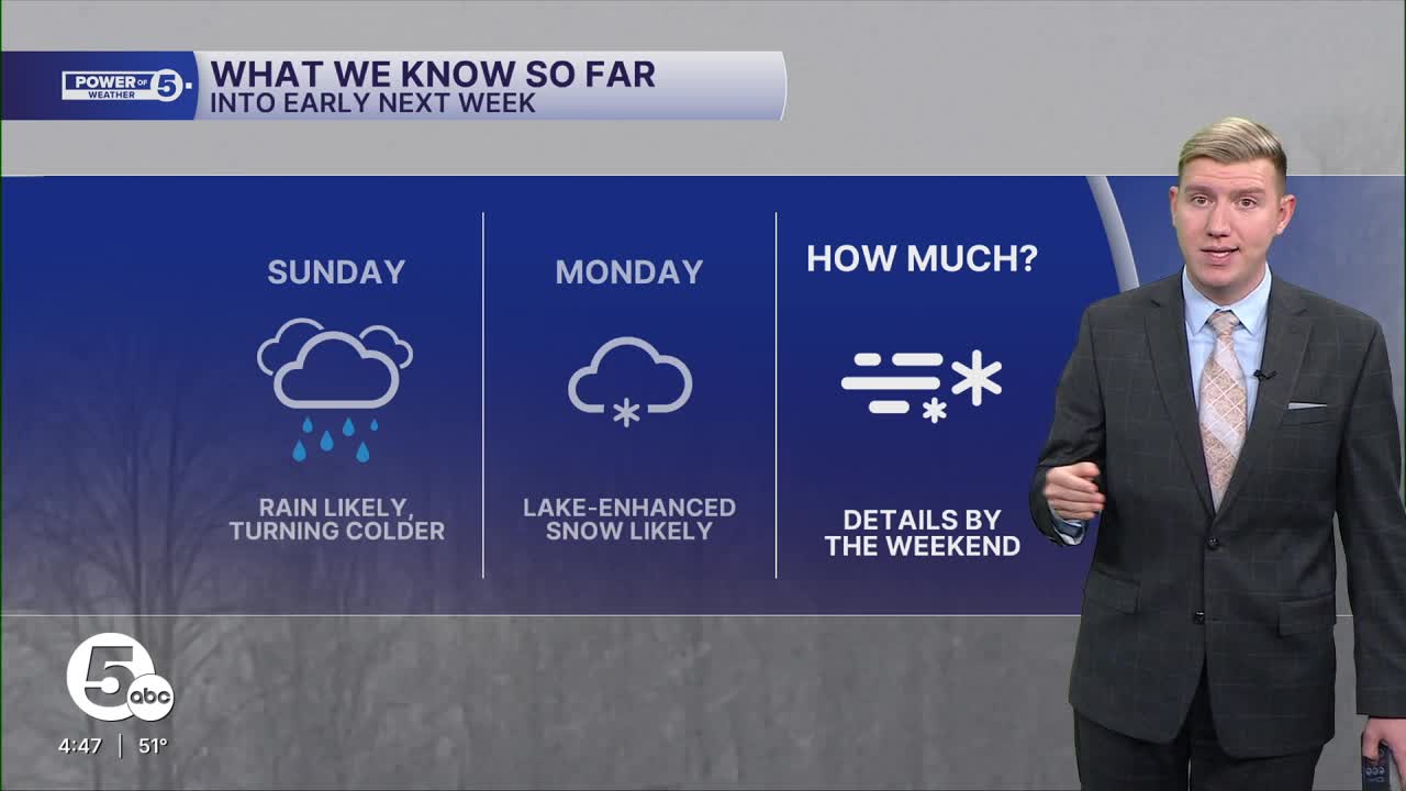


The first snowfall of the season is likely early next week.
When will it snow?
How much snow is expected?
Will there be a mix or rain?
These are just some of the many questions people typically ask ahead of a winter storm.
Despite the social media buzz and many ambiguous maps shared online, there is a methodical approach that the Power of 5 team takes to ensure an accurate, responsible forecast. It can be broken down into four key stages that are important to remember the next time a chance of snow pops up in the forecast.
Most of the winter storms seen every winter originate on the other side of the planet and have to traverse the Pacific Ocean. There is little or no data available when the storm is developing over that part of the world. That usually happens a week or so before any impact here. At this stage, it is a good idea to look at the general pattern on the way. Is it a cold or warm pattern? Is there a signal for a storm? If there is a cold and snowy signal, then that will be tracked more closely.
Between five and seven days out, the trend may or may not be our friend. As the storm approaches the west coast of North America, models will start to converge on a general idea for what the storm could do as it crosses through North America and approaches Northeast Ohio. At this point, there is still limited data available, yet social media buzz spikes. Around five or six days before Monday's snow chance, social media was buzzing, and way-too-early snow maps were circulating.
It is important to know where you get your weather information from, especially for winter storms, as the premature snow maps a week out rarely ever verify.
Things start getting interesting between three and five days out, and models are converging on one scenario. The scenarios could involve snow versus mix versus rain, north versus south storm track, etc. As the storm moves over land, there is plenty of data that helps remove scenarios that are not likely anymore.
Within three days, the details can be ironed out, and that is when a snowfall forecast with tangible numbers is expected. The 'three T's', three key details — track, timing, and totals, are in view, and the forecast becomes clearer. That window opens on Friday, and then expect tweaks on Saturday and Sunday before the first flakes begin to fly on Monday.
Want the latest Power of 5 weather team updates wherever you go? Download the News 5 App free now: Apple|Android
Click here to view our interactive radar.
Follow the News 5 Weather Team:
Trent Magill: Facebook & Twitter
Katie McGraw: Facebook & Twitter
Phil Sakal: Facebook & Twitter
Allan Nosoff: Facebook & Twitter
