


Winter time is upon us soon, and that means a whole assortment of weather in Northeast Ohio. We have snow, sleet, rain, freezing rain, blizzards, snow squalls, and, of course, the infamous lake-effect snow.
There are many warnings, watches and advisories used to convey what folks need to prepare for. Do you know what a “Winter Weather Advisory” and “Winter Storm Warning” Mean?
Well, let me be your guide!
First off, all of these warnings, watches and advisories originate from the National Weather Service, specifically, the office in Cleveland for most of the News 5 Viewing Area. Two counties are under the Pittsburgh National Weather Service office: Tuscarawas and Carroll.
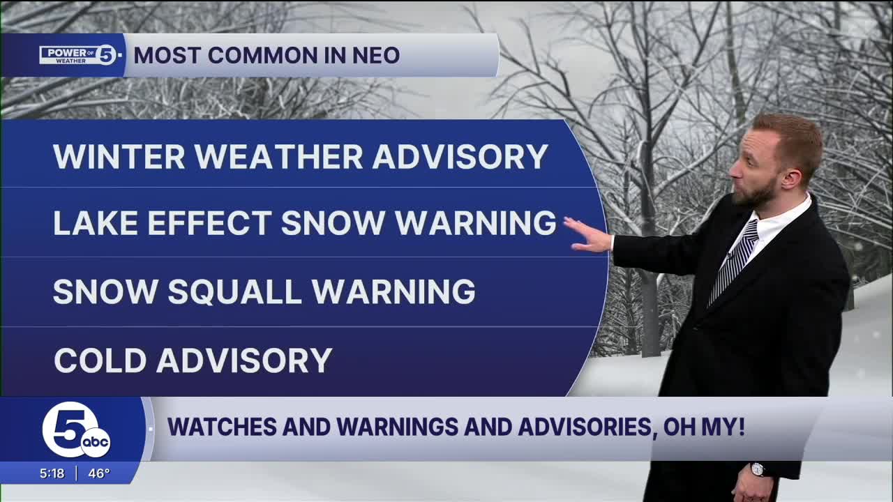
The most common alert across Northeast Ohio is the Winter Weather Advisory. This is kind of a catch-all for winter weather in a sense. These are issued if possible snow accumulations of 4 inches, and or any freezing rain accumulations less than ¼ inch for any county.
Every county can be under most winter warnings, advisories and watches. But there are only certain counties that can be under Lake-Effect Snow Warnings. Primarily, they are Ashtabula, Lake, Geauga, and Cuyahoga, the areas where most lake-effect snow occurs. It can be issued for any of our northernmost areas.
The criteria to be put under a Lake-Effect Snow Warning are if lake-effect snow accumulations of 6 inches or greater are anticipated.
Now, Winter Storm Watches and Warnings, too, are kind of a catch-all for winter weather, just in a more impactful way. A winter storm watch is issued for potential for a blizzard, heavy snowfall, or ice storm within the next 18 to 48 hours, issued when there is a 50% confidence or greater of at least 6 inches of snow and/or a ¼ inch of ice.
A Winter Storm Warning is issued for snow accumulations of 6 inches or greater; Freezing rain accumulations of ¼ inch or greater are imminent.
Now you noticed the word “blizzard” in the winter storm watch and warning. Well, it too has criteria, and it is probably more specific than you realize.
To have an actual blizzard, according to the National Weather Service definition, you need sustained winds or frequent gusts of 35 mph or greater AND falling/blowing snow reducing visibility to less than ¼ mile for at least three hours. That’s right, you don’t need falling snow to have a blizzard. A blizzard is a visibility concern, rather than a snowfall or accumulation concern.
People will only see blizzard warnings once in a great while here in Northeast Ohio, but we will see a “Snow Squall Warning” several times a winter, which gets confused for a blizzard.
You need a short-duration (less than 1 hour), polygon-based warning (like severe thunderstorms and tornadoes) that is issued when strong snow squalls and flash freezing will cause dangerous and life-threatening conditions, especially for roadways. Usually issued when ground/road temperatures are sub-freezing and visibility is less than ¼ mile.
An Ice Storm Warning is issued when freezing rain accumulations of ¼ inch or greater result in significant, widespread power outages, tree damage and dangerous travel. A warning that is not that common across Northeast Ohio, but can happen if conditions are right.
Now we’ve talked about winter precipitation problems. But cold air can be a problem for folks. Now, in years past, we had two ways to describe cold: the actual air temperature and the wind chill. In the last year, the National Weather Service has combined both into one advisory, watch and warning.
So, an Extreme Cold Watch is issued when a wind chill or temperature of -25ºF or colder is anticipated within the next 18 to 48 hours, and an Extreme Cold Warning is issued when -25°F or lower wind chills or temperatures are imminent. A Cold Advisory is issued when temperatures or wind chill of -15ºF to -24ºF are imminent.
So there you have it, all of the winter-season watches, warnings and advisories. Quite a list for sure, but keep in mind, Mother Nature is in charge, and does not abide by our lines on a map.
So you will need to stay weather-aware, and the Power of 5 Meteorologists will always keep you informed and ahead of the ever-changing weather this winter across Northeast Ohio.
Want the latest Power of 5 weather team updates wherever you go? Download the News 5 App free now: Apple|Android
Click here to view our interactive radar.
Follow the News 5 Weather Team:
Trent Magill: Facebook & Twitter
Katie McGraw: Facebook & Twitter
Phil Sakal: Facebook & Twitter
Allan Nosoff: Facebook & Twitter
