


CLEVELAND — In addition to snow and sub-zero windchill temperatures, the winter storm hitting our area Friday is forecasted to cause high waves that Lake Erie hasn’t seen since Superstorm Sandy.
The 50 to 60 mph wind gusts predicted to sweep across Northeast Ohio and Lake Erie Friday afternoon could cause wave heights over 20 feet in parts of Lake Erie, according to forecast models from the National Oceanic and Atmospheric Administration.
The last time Lake Erie saw waves that high was on Oct. 29-30, 2012, when Superstorm Sandy made landfall and brought similar-speed winds of 50 to 60 mph.
According to Mark Thorton, who runs the weather blog LakeErieWX Marine Weather, the tallest officially recorded wave was 14 feet, but he says it is likely that higher wind speeds near Cleveland produced much higher waves.
Watch our coverage of damage from Sandy in 2012:
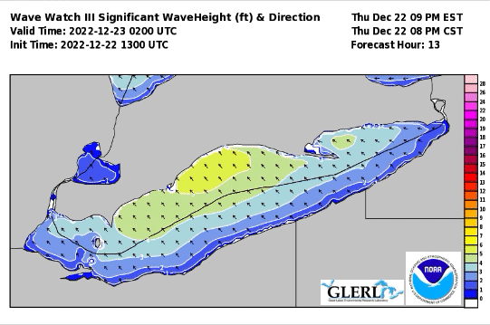
It should be noted that the NOAA model shows the highest waves will remain offshore, but those near the shore may want to keep an eye out for towering waves Friday afternoon.
Want the latest Power of 5 weather team updates wherever you go? Download the News 5 App free now: Apple|Android
Download the StormShield app for weather alerts on your iOS and Android device: Apple|Android
Click here to view our interactive radar.
Read and watch the latest Power of 5 forecast here.
Follow the News 5 Weather Team:
Mark Johnson: Facebook & Twitter
Trent Magill: Facebook & Twitter
