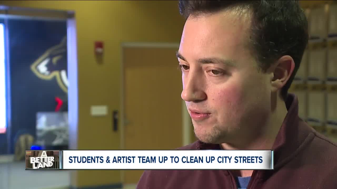
AKRON, Ohio — They’ve cruised through more than 100 intersections in one Akron neighborhood, finding out which ones have adequate street lamps and which ones have too much litter.
Mac Love, a local artist and owner of Art x Love, is the man behind this labor of love, the project’s chief catalyst. He’s done similar projects in Akron before. In 2017, Love said, he won a Knight grant to go down every street in Akron, map its assets, interview residents and identify ways to improve quality of life.
“We gathered so much information about the neighborhoods that the city and others weren’t aware of, that this, what we’re doing now, became the natural evolution of that project,” Love said. “We are now using GIS mapping, which is a global positioning way of basically placing data on a map that the city can use to access information and then to address different residential needs, environmental needs, in a very efficient and smart way.”
This latest project, which Love began in October, involves engineering students from the University of Akron, the Engineering Service Design Team. The students and Love are collecting data to find out how walkable the University Park neighborhood is.
“We go to every intersection,” Love said. “We look at the roads, we look at the sidewalks, we look at the greenery, we look at the litter, we look at the structures, so from buildings to fencing.”
Love said a project like this is “something that I think everyone recognizes as being a need, and if you’re already out and about, it would be great if there was just a more efficient, convenient way to report these issue” rather than simply calling 311.
The group is walking around the streets of the University Park neighborhood during the daytime and nighttime, crossing the street to get different vantage points, assessing the conditions they see and how safe they feel at each intersection. They discuss their observations before coming to a consensus and recording it in an app that automatically geotags where they are. Later, they can filter the information they’ve collected to look at, for example, areas with a lot of litter or poorly-lit intersections.
“We want people to be comfortable walking around in the area, to find the ways that the city might be able to improve or to highlight the good things about an area,” said Amanda O’Reilly, a fifth-year mechanical engineering student who is set to graduate in May.
For now, the group members are doing this on their own, volunteering to walk around University Park to collect the data. The data they collect will then be shared with the city of Akron, which can use it to determine where repairs might be needed or as a cross-reference with crime data. Love said city departments will be able to share the information easily.
“Our team is coming up with objective rules so that, no matter who is ranking these intersections, it’s not just someone complaining about something,” Love said. “There is clear, measurable data here where we can precisely identify what needs to be repaired, when and perhaps even strategically and what priority.”
All of this, Love said, will improve quality of life.
“I think a lot of people take for granted that just because there’s a sidewalk, people will walk on it. We need to see more signs of humanity in our environment, and when you don’t have people walking outside and you don’t have crosswalks, or the sidewalks are not in great condition, it makes you less inclined to go out and to lift your eyes up and look at who’s around,” Love said.
The group also hopes this work will change the perception of parts of the city.
“Maybe people might have a certain opinion of the neighborhood, but if you go and look through this data, or you go and look around yourself, it’s kind of like a little bit better than you’re actually thinking,” said Scott Salerno, another fifth-year mechanical engineering student.
The group hopes to expand to other Akron neighborhoods in the future and to get more people in the community on board.
“We’ve already had residents of other neighborhoods ask if they can use this tool,” Love said. “We’ve also had residents of this neighborhood ask if they can come out and join us.”
“Later down the line, we’re hoping to maybe use this app that other people can be trained on it, and then they can kind of give this data directly to the city and then they can make their own assessments from there,” Salerno said, noting that it would likely be members of neighborhood watch groups.
Love said he thinks other cities could use a similar model to address their own challenges.


