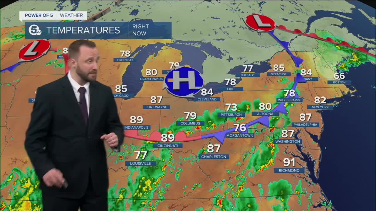


CLEVELAND — A quiet and warm evening, giving way to areas of fog during the overnight. Dense fog will be possible, especially if you saw rain during the day today. Temperatures will be slightly cooler, as most areas will fall back into the mid 60s.
Sunday looks mainly dry and a bit warmer with highs in the mid to upper 80s.
However, storm chances ramp up again on Monday and Tuesday. Some storms could become strong or severe late on Monday. The best chance on Tuesday looks to be early in the day, with a gradual drying trend with less humidity.
As of now, the Fourth of July, looks mainly dry, but a lot can change between now and then - stay tuned for the latest updates!
DAILY FORECAST:
Saturday Night: Areas of Fog. Warm & Muggy. | Low: 67º
Sunday: Patchy Fog Early. Warm & Muggy. | High: 88º
Monday: Hot and humid with strong storms likely. | High: 88º
Tuesday: A few storms. | High: 80º
Wednesday: Less humid.| High: 82º
Download the News 5 app for the latest weather updates:
Follow the News 5 Weather Team:
Trent Magill: Facebook & Twitter
Katie McGraw: Facebook & Twitter
Phil Sakal: Facebook & Twitter
