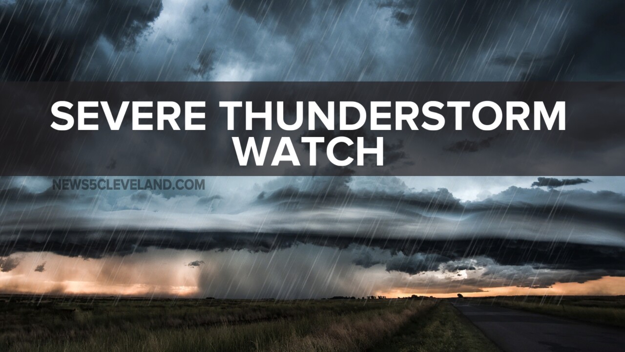


CLEVELAND — A severe thunderstorm watch has been issued for the majority of Northeast Ohio until 5 am Friday.
This watch includes Cuyahoga, Summit, Erie, Huron, Richland, Ashland, Wayne, Lorain, Medina, Holmes, Lake, Stark, Portage, Geauga, and Ashtabula Counties.
A line of thunderstorms that has a history of producing damaging winds, tornadoes, frequent lightning, and heavy rain is crossing from Indiana into Ohio shortly before midnight.

It will continue to push east over the next few hours.
While this line is expected to weaken as it progresses east, it is still producing wind gusts of 50 to 60 mph in western Ohio.
Damaging gusts will still be possible as it moves through Northern Ohio, especially the farther west that you live, and less likely the farther east that you live.
This is thankfully the last wave of storms before the cold front pushes through on Friday.
It will be brighter and less humid by Friday afternoon.
Stay safe and alert overnight!
Want the latest Power of 5 weather team updates wherever you go? Download the News 5 App free now: Apple|Android
Click here to view our interactive radar.
Follow the News 5 Weather Team:
Trent Magill: Facebook & Twitter
Katie McGraw: Facebook & Twitter
Phil Sakal: Facebook & Twitter
Allan Nosoff: Facebook & Twitter
