


CLEVELAND — HEADS UP! Storm season is upon us! Strong and severe storms are possible throughout the day on Wednesday.
It has been unseasonably warm, and that warmth will now help to fuel stronger storms as a MUCH colder airmass moves back into the region.
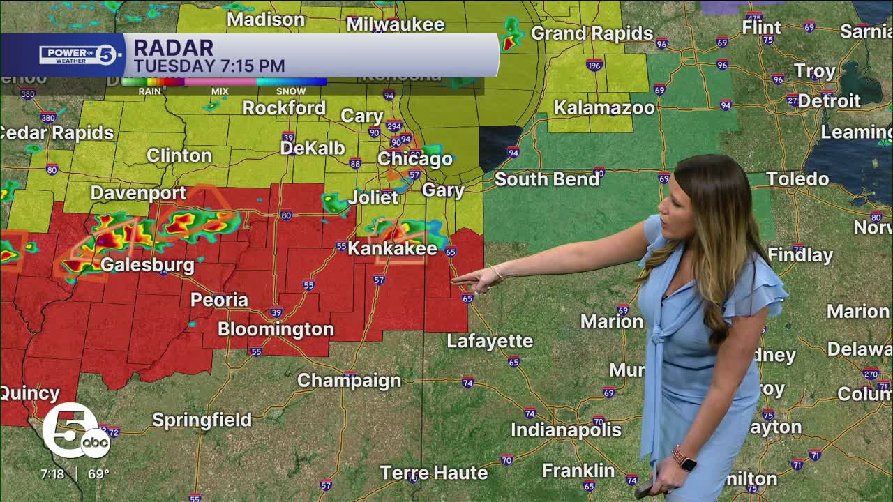
Plan for waves of storms as a strong system and a cold front approach NEO from the west.
These storms have already produced long-track tornadoes, damaging winds, and massive hail across the Midwest in Illinois, Indiana, Wisconsin, Michigan, and Missouri, and will continue to push east overnight.

Storms could start as early as 4 or 5 a.m. on Wednesday and continue on and off until the late afternoon/early evening on Wednesday.
All modes of severe weather are possible tomorrow. That means damaging straight-line winds over 60 mph, large hail, and lightning. This also includes repeated rounds of heavy rain and flash flooding, and a few tornadoes are also possible.
This means from roughly 4 a.m. to 8 p.m., The Power of 5 Weather Team wants you to be weather aware. Have multiple ways to receive warnings, know where your safe place is, and stay up to date with us all day!

Want the latest Power of 5 weather team updates wherever you go? Download the News 5 App free now: Apple|Android
Click here to view our interactive radar.
Follow the News 5 Weather Team:
Trent Magill: Facebook & Twitter
Katie McGraw: Facebook & Twitter
Phil Sakal: Facebook & Twitter
Allan Nosoff: Facebook & Twitter
