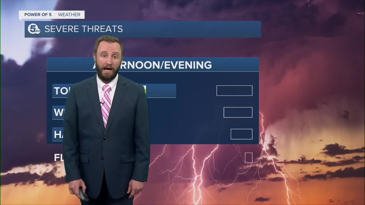


CLEVELAND — Rounds of showers and storms impacted NEO throughout the day, including several severe thunderstorm warnings, tornado warnings, and flood warnings. Thankfully, the damaging storms have cleared NEO, and the severe threat is over for the night.
HOWEVER, we still have a chance for more thundershowers tomorrow. Look for a few more showers and rumbles of thunder on Thursday. Severe weather is not expected, but pockets of heavy rain are expected as we clear this system completely from the area.
Following the cold front, high pressure will build and bring us sunshine and comfortable temperatures for the first day of summer on Friday.
However, the comfortable air only lasts for a couple of days. We HEAT up quickly by the weekend - hello to our 1st heat wave of the season!! 90s for high temps, with heat index values well into the 90s, to perhaps 100!
DAILY FORECAST:
Thursday: Scattered rain/thunder, not as warm.| High: 75º
Friday: Seasonal with sunny skies. Summer starts! | High: 82º
Saturday: Staying dry and heating up! | High: 89º
Sunday: Sunny. Hot! | High: 93º
Monday: Sunny & Hot! | High: 93º
Download the News 5 app for the latest weather updates:
Follow the News 5 Weather Team:
Trent Magill: Facebook & Twitter
Katie McGraw: Facebook & Twitter
Phil Sakal: Facebook & Twitter
