


CLEVELAND — It has been an incredibly and unseasonably warm over the last few days, but that is coming to an end as a cold front moves through the area this evening. Ahead of the cold front, there will be showers and storms. Some of these storms could become strong to severe. Notice that the rain is still out to the west and will be sliding east over the next several hours. The best chance for severe storms is east of I-77.

The Storm Prediction Center has issued a slight risk of severe weather over about half of the News 5 viewing area. A slight risk means an area of organized severe storms, which is not widespread in coverage with varying levels of intensity is most likely. Areas that are included in the slight risk for Wednesday are Akron, Canton. Aurora, Youngstown, Wooster, New Philly, Alliance and Ashtabula.

The main threat for today is damaging wind gusts that exceed 50 mph. There is also the possibility of isolated large hail. The tornado threat is low, but not zero. We are in need of some rain, but heavy rain is likely in the strongest storms. For 2021, we are 5.39 inches below average. Since it has been so dry, getting rain is a good thing. However, too much rain too fast can still lead to flooding.

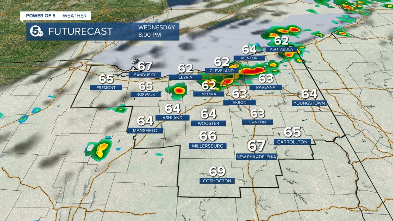
The best chance for severe weather is during the afternoon - from 12 p.m. - 5 p.m. It appears there will be a brief lull during the early evening, before a few more widely scattered storms pop up. These will end by tonight and cooler air will follow the front. Temperatures will be in the 80s ahead of the front and fall into the 60s behind the front.


Be sure to keep it with the Power of 5 Weather Team this afternoon and evening. The entire team will be keeping an eye on the radar and we will be sure to let you know of any severe storms.
