


It may be hard to believe after multiple 70 and 80-degree days this week, but a hard freeze is likely for most of the News 5 viewing area, with another hard freeze expected Monday night.
The National Weather Service has issued a Freeze Warning for these counties on Sunday night. The following counties will be under this warning from 11 p.m. on Sunday until 11 a.m. on Monday:
- Ashland
- Ashtabula
- Cuyahoga
- Erie
- Geauga
- Holmes
- Huron
- Lake
- Lorain
- Medina
- Portage
- Richland
- Stark
- Summit
- Tuscarawas
- Wayne
These areas are also under a Freeze Watch from Monday at 8 p.m. until Tuesday at 10 a.m.
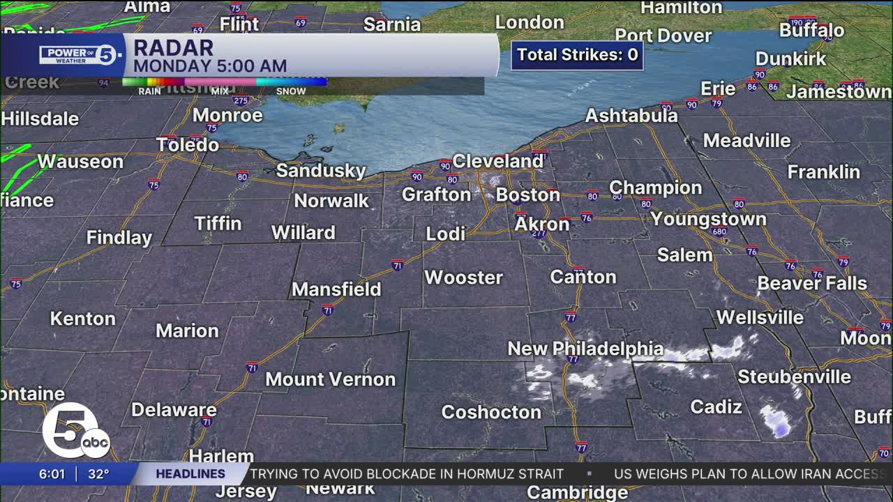
Temperatures dropped from the 40s on Sunday afternoon to near freezing by Monday morning.
Some light lake-effect snow is also possible Sunday night through Monday morning, as this wintry weather pattern will persist through Tuesday. It will likely be even colder Monday night, with a hard freeze possible for Cleveland itself.

Want the latest Power of 5 weather team updates wherever you go? Download the News 5 App free now: Apple|Android
Click here to view our interactive radar.
Follow the News 5 Weather Team:
Trent Magill: Facebook & Twitter
Katie McGraw: Facebook & Twitter
Phil Sakal: Facebook & Twitter
Allan Nosoff: Facebook & Twitter
