


All day has been a mixed bag of weather, and that continues tonight. Depending on where you live across Northeast Ohio, conditions will vary widely.
For some, lake effect rain and clouds will rule the roost overnight; this is most likely the more north and east you live. This will prevent temperatures from dropping very much in the primary and secondary snowbelts. Heavy rain is possible, which could lead to localized flooding.
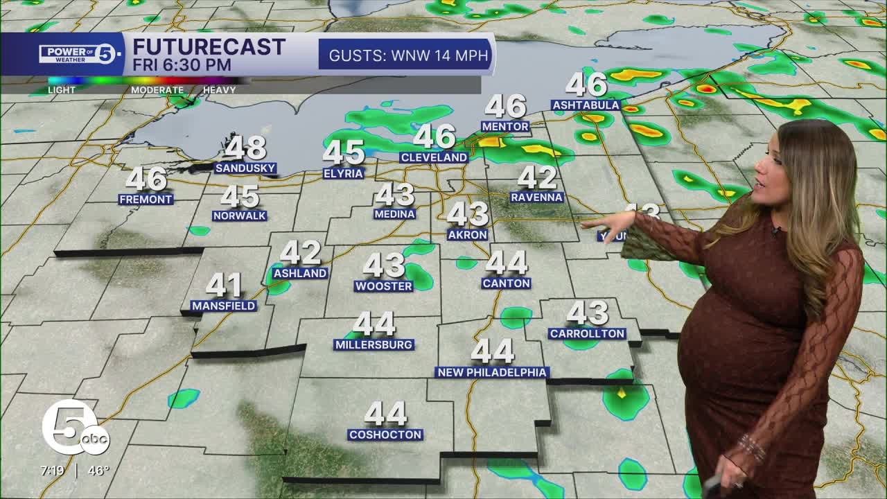
Meanwhile, the farther south and west you live, the weather looks much calmer overnight...but also colder.

With fewer clouds in this area, temperatures could dip into the mid and low 30s overnight. The blustery winds we've been dealing with for the last few days are also becoming lighter in our southwestern communities.
Fewer clouds + colder temperatures + calmer winds all aid in the development of frost.

Therefore, the National Weather Service has issued a Frost advisory for Richland, Ashland, Wayne, Holmes, Coshocton, Tuscarawas, Carroll, Stark, Huron, Sandusky, and Seneca Counties from 1 to 9 a.m. on Friday.
Frost could harm sensitive outdoor vegetation. Sensitive outdoor plants may be killed if left uncovered. Take steps now to protect tender plants from the cold.

Want the latest Power of 5 weather team updates wherever you go? Download the News 5 App free now: Apple|Android
Click here to view our interactive radar.
Follow the News 5 Weather Team:
Trent Magill: Facebook & Twitter
Katie McGraw: Facebook & Twitter
Phil Sakal: Facebook & Twitter
Allan Nosoff: Facebook & Twitter
