


CLEVELAND — Get ready to sweat! Today will be even hotter than this weekend with high temperatures in the upper 80s to low 90s. Dew points will be increasing, so that means it will feel more humid and steamy outside as well.
Heat index values Monday and Tuesday will be in the mid to upper nineties.
There are also daily thunderstorm chances during your workweek. Increasing heat and increasing humidity = increasing instability.
An unstable atmosphere is important for storm development.
There is also an upper-level disturbance that will increase shower and storm chances throughout Monday afternoon and evening. Storms will then continue into Tuesday.
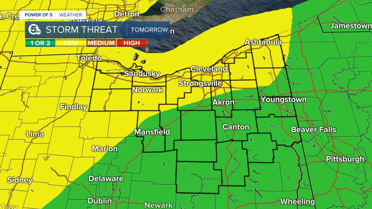
Some showers and storms could become strong or severe on Tuesday and Wednesday.
The Storm Prediction Center has posted a risk for severe weather for both days.
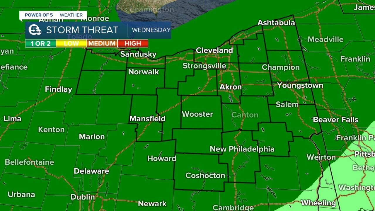
Those could be upgraded as well. The main hazards will be damaging wind gusts and heavy rain that could lead to flash flooding.
Want the latest Power of 5 weather team updates wherever you go? Download the News 5 App free now: Apple|Android
Download the StormShield app for weather alerts on your iOS and Android device: Apple|Android
Click here to view our interactive radar.
Read and watch the latest Power of 5 forecast here.
Follow the News 5 Weather Team:
Mark Johnson: Facebook & Twitter
Remeisha Shade: Facebook & Twitter
