


FRIDAY MORNING UPDATE:
A system bringing widespread rain is moving toward Northeast Ohio today and could result in periods of heavy rain that could lead to flooding. A few storms are possible as well.
Rain increased Thursday evening and became widespread overnight. After a brief lull in the activity early Friday, another round of widespread rain has moved into Northeast Ohio.

Rest of Friday and Saturday:
This round looks to last until late morning and early afternoon. This timeframe also looks to be when the heaviest rain falls, especially in our southern communities.

Simply put: Friday looks wet. There will be periods of dry time, but on and off rain will be a constant theme throughout the day. The best chance for some dry time looks to be during the mid-afternoon.


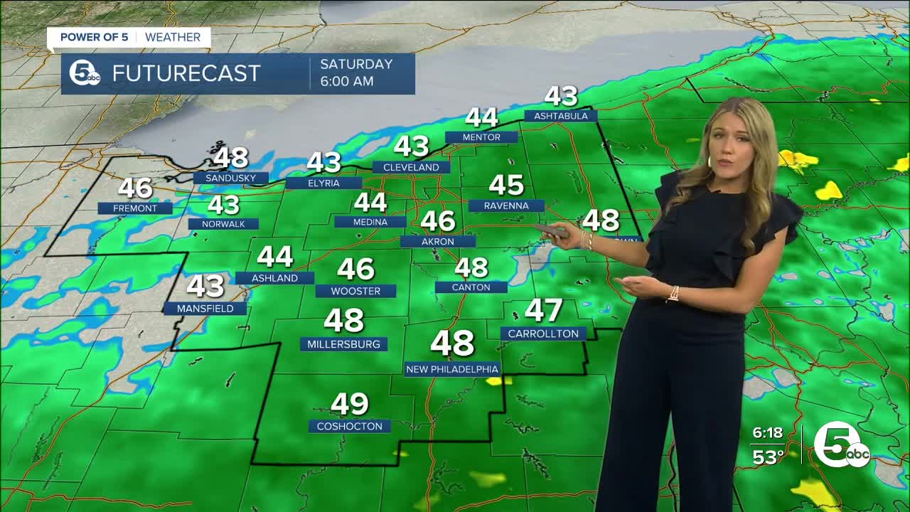
However, prepare for another round of widespread rain again Friday night. Rain will linger into the weekend. Expect more rain Saturday morning, but it looks to gradually dry out from west to east throughout the morning and early afternoon. Communities to the east of I-71 could see rain until Saturday evening.


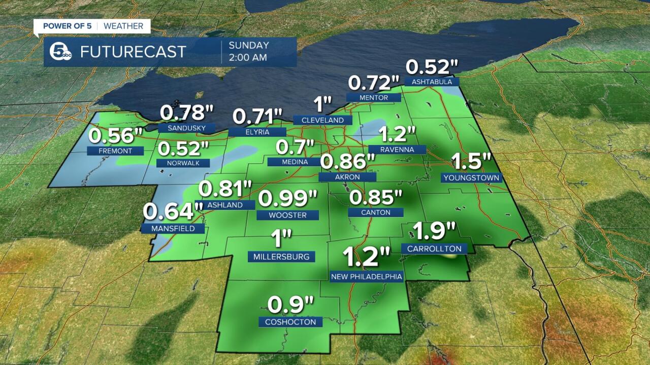
Rainfall Amounts + Flooding Potential
The previously mentioned low pressure will track just to the south of our area – near the Ohio River tonight throughout Friday. This system will drag a warm front north and increase rain intensity and lead to hefty rainfall amounts. On the low end we can expect half an inch to 1 inch of rain, but it appears 1 to 1.5 inches will be more common across our viewing area by Saturday afternoon with locally higher amounts. Minor river, stream and creek flooding will be possible.
Additionally, we are expecting a long period with the east to northeast winds on Lake Erie in the 25-35 mph range. This will lead to rising water levels along the south shore of the lake to the west of Vermilion. Lakeshore flooding will be possible, too.
A few thunderstorms are possible, but the best energy stays in Southern Ohio near the Ohio River and severe weather looks unlikely.
The Power of 5 Weather Team will keep you posted regarding any changes. Be sure to tune in to News 5 throughout the entire day on Friday. Plus, some good news. Next week looks amazing. It starts to improve on Mother's Day with cool sunshine. Temperatures will gradually increase throughout next week into the 70s (maybe even 80s!)

Want the latest Power of 5 weather team updates wherever you go? Download the News 5 App free now: Apple|Android
Download the StormShield app for weather alerts on your iOS and Android device: Apple|Android
Click here to view our interactive radar.
Read and watch the latest Power of 5 forecast here.
Follow the News 5 Weather Team:
Mark Johnson: Facebook & Twitter
Remeisha Shade: Facebook & Twitter
