


CLEVELAND — Happy Labor Day Weekend!!
It is the unofficial end of summer and there are plenty of events planned across Northeast Ohio this weekend! However, you should plan for rain and storms Sunday, Labor Day and even into Tuesday. A slow moving area of low pressure will meander around the region for days and there will also be a cold front sliding through late Sunday. It will not rain all weekend, but rounds of showers and storms will be a constant theme through early next week. Let's break down each day's storm chance below!

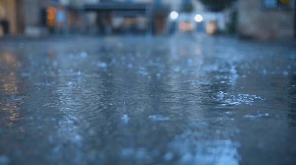
SEVERE THREAT? The severe potential is pretty low this weekend, but an isolated damaging wind gust is possible. Plus - listen for thunder! When thunder roars, get indoors! Storms could also feature heavy rain and brief gusty winds. Localized minor flooding is possible for communities that see repeated rounds of heavy rain. Rainfall totals by Tuesday morning look to be around 0.5 - 2.0'' of rain with locally higher amounts.


YESTERDAY: Saturday was mainly dry for most of northeast Ohio, with a few pesky light showers in our southern communities. It was a very warm and muggy day too with highs around the mid 80s!

SUNDAY: Rain has been increasing this morning and spreading slowly to the north and east. Widespread showers will continue for a few hours. This means many people will see wet weather today. Rain will become more sporadic by the late afternoon and evening. This means there will be dry periods later today, but the rain chance is not zero! Hit and miss showers and storms are expected throughout the entire day. Wet weather will likely impact your plans. Temperatures will be a bit cooler on Sunday, but it looks to remain sticky. Scroll through the images of Futurecast to get an idea about timing and coverage of storms.


LABOR DAY: This system is very slow moving and will keep unsettled weather into Labor Day (and even Tuesday). It will be near normal with high temperatures around the mid to upper 70s. It will be humid with lingering scattered showers and storms. Periods of rain will likely continue all and potentially linger until Tuesday evening. This is a complex forecast that continue to evolve - so be sure to check back with the Power of 5 weather team! I will update this article as needed as well!
- Meteorologist Katie McGraw: Facebook & Twitter


Want the latest Power of 5 weather team updates wherever you go? Download the News 5 App free now: Apple|Android
Download the StormShield app for weather alerts on your iOS and Android device: Apple|Android
Click here to view our interactive radar.
Read and watch the latest Power of 5 forecast here.
Follow the News 5 Weather Team:
