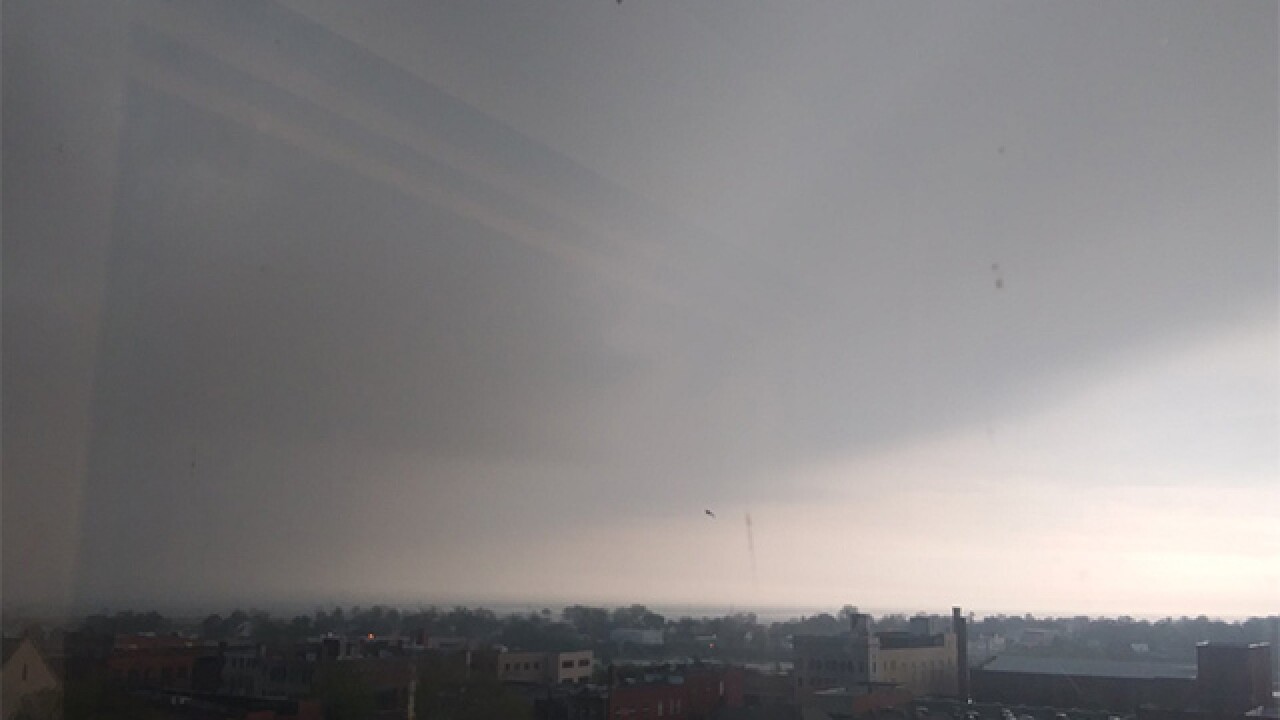
Storms have rolled into Greater Cleveland from the west, and we're tracking thunderstorms and rain into the afternoon.
Severe Thunderstorm Watch through 9 PM for some areas of NE Ohio. #OHWx pic.twitter.com/Oi8iFXK8aG
— Janessa Webb (@JanessaWebb) May 14, 2018
A line of strong to severe thunderstorms will slide southeast through the viewing area early this afternoon. The best chance for a severe storm is south of the line from Cleveland to Youngstown.
TIMING: Between about noon and 3 PM today
IMPACTS: Highs wind could bust some tree limbs and bring down some power lines. Large hail could damage cars and vegetation. Brief heavy rain could cause flash flooding.
AREAS: Best chance for severe storms today will be from Mansfield to Medina, Akron, Canton, Dover, New Philly and Youngstown.
From Bryan Shaw
Round 2 is developing to the west. #Cleveland #weather pic.twitter.com/Lkn7eGp1AN
— Bryan Shaw (@WxShaw) May 14, 2018
The storms are producing 30 mph winds in some locales
Not severe winds but they are picking up. #OHWx pic.twitter.com/2ia1eK4vvq
— Janessa Webb (@JanessaWebb) May 14, 2018
View of the storm rolling into Cleveland earlier
Photos
@WxShaw pic.twitter.com/C1tIBg1jLh
— Andrew Hylbert (@ahylbert) May 14, 2018
Gust front in Wadsworth @jdrudd pic.twitter.com/DXAcnqnpDC
— Mike Vielhaber (@MVielhaber) May 14, 2018


