CLEVELAND — Let's flip the calendar back to spring of 2007!
March 2007 was unseasonably warm in our region and prompted the early growth of many agricultural and horticultural crops. The monthly temperatures were about 2°F above average in Cleveland and contributed to the second warmest March on record for the entire United States at the time!
Just when winter seemed to be over, arctic temperatures moved in during early April with over 1,500 weather stations breaking or matching daily record low temperatures for several days.

Additionally, Northeast Ohio was hit with a blast of an unusually late lake effect snow from April 6-8 2007. This was Easter weekend and 20 to 30 inches of snow fell from Cleveland and across the Snowbelt!! Christmas 2006 had been wet, while Easter was white across much of Northeast Ohio and Northwest Pennsylvania.


The Indians (since renamed The Guardians) had their home opener against the Seattle Mariners on April 6, 2007. The game became an infamous snow out. The game started late due to the weather and eventually was called about halfway through the game after Mariner's manager Mike Hargrove argued for the snow delay. The game had been a no-hitter and it was only one strike away from being official! The next series against the Angels then had to be played in Milwaukee.
I remember this snowy Easter and even found this picture of my sisters and me in front of a blanket of snow! Easter 2007 had the most snow on the ground (5'') in Cleveland on record and the high temperature was only 32 degrees!

While the snowy Easter is a fun memory for me, NOAA says the arctic blast resulted in major agricultural losses. Officials estimated farmers lost about 90% of their crops. And, many farmers lost nearly all of their crops. The widespread freeze extensively damaged agriculture across 18 states, resulting in over $2 billion in losses.
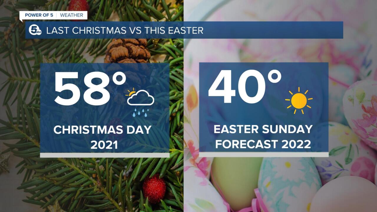
Thankfully, this Easter will not be nearly as eventful! After a few flakes early in our NE communities, the rest of the day looks dry and sunny. It will be chilly though!! Expect highs in the 40s - which is about 15-20 degrees below average. The typical high temperature in mid April is closer to 60 degrees. Ironically, 60 degrees is close to the high temperature for Christmas Day 2021!

Have a safe and happy holiday! Winter is not quite over yet! Rain and snow will be possible on Monday and Tuesday. For more information, check out the Power of 5 forecast.
Katie McGraw: Facebook & Twitter
Download the News 5 app for the latest weather updates:
Apple
Android


