


CLEVELAND — Rounds of storms are the name of the game for the next few days, and strong to severe storms are possible.
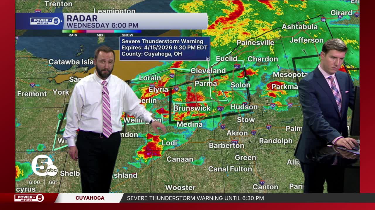
News 5's Allan Nosoff and Phil Sakal were live with updates Weednesday evening:
Click HERE to view current FirstEnergy outages.
News 5 viewers have sent in photos of the hail that came down on Wednesday afternoon and evening:


Stay weather aware for the rest of your Wednesday and Thursday.
Rounds of storms are the name of the game for the next few days, and strong to severe storms are possible.
Early Wednesday
The Power of 5 weather team is tracking another round of storms on Wednesday afternoon and evening.
How each round evolves will dictate the round to follow.


Severe risks have been issued by the Storm Prediction Center for all of Wednesday and Thursday.
The most widespread, and likely the strongest storms, are expected on Wednesday.
Friday will be mainly dry, but more storms are expected on Saturday that....can you guess? Could be strong or severe. We will keep you posted!


Want the latest Power of 5 weather team updates wherever you go? Download the News 5 App free now: Apple|Android
Click here to view our interactive radar.
Follow the News 5 Weather Team:
Trent Magill: Facebook & Twitter
Katie McGraw: Facebook & Twitter
Phil Sakal: Facebook & Twitter
Allan Nosoff: Facebook & Twitter
