


CLEVELAND — Severe thunderstorms toppled trees and downed power lines in Burton, in Geauga County Thursday afternoon, but the potential for dangerous weather in our viewing area has subsided.
Meteorologist Katie McGraw was live on the News 5 Facebook page from about 3 p.m. to 4 p.m., tracking the storms as they moved across the area:
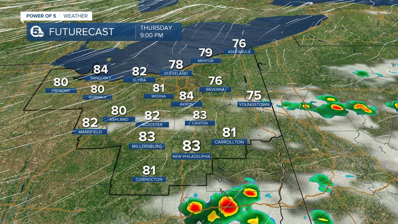
It has been hot, humid and dry for most of the day. However, that began to change as a cold front began to move throughout Northeast Ohio this afternoon and into tonight.
This front is bringing a dramatic temperature change over the next few days and relief from the heat. Before that happens though, widely scattered storms moved across the area for a few hours this afternoon, with some bringing severe storm damage to parts of Geauga County.
Janis, a News 5 viewer showed us several photos of downed trees in Burton.
STORM DAMAGE: Janis sent these photos into @WEWS from Burton in Geauga County. Plenty of trees downed and damage here! @NWSCLE pic.twitter.com/bXTUnsGMo9
— Katie McGraw (@KatieMcGrawx) June 16, 2022
Previous updates from before the system moved through are area are below:

SEVERE WEATHER: If you are out and about this afternoon - stay weather aware! The Storm Prediction Center has issued a severe weather risk for most of the viewing area. There is a slight risk posted for about half of the area, mainly along and to the east of I-71. This is a 2/5 risk level and means that a few severe storms are possible in the yellow area. The slight risk includes Cleveland, Wooster, Mansfield, Akron, Canton, Mentor, New Philly and Ashtabula. There is an even greater threat of severe weather farther to the east in Pennsylvania. The area in green is a marginal risk for severe weather and is a level 1/5 and includes Lorain, Oberlin, Norwalk and Shelby. This shows there is a better chance to experience severe weather to the east of Cleveland on Thursday.


WATCHING CLOSELY: The NWS and SPC are considering a severe thunderstorm watch across the viewing area in NE Ohio. Isolated to widely scattered storms may develop this afternoon and a few could become strong or severe. Stay tuned! I will let you know if a watch does get issued. pic.twitter.com/JLgRFjrDJQ
— Katie McGraw (@KatieMcGrawx) June 16, 2022
MAIN THREATS: All storms can feature heavy rain and lightning. The main threats for severe weather will be damaging wind gusts and severe hail. Isolated tornadoes cannot be ruled out, but is less likely. Keep in mind not everyone is expected to be impacted by these storms because they are scattered. Storms will also be brief. The best chance for storms is from 2 p.m. to 6 p.m. with storms clearing the area before sunset.

RELIEF FROM THE HEAT: Cooler air will be moving in for Father's Day Weekend! The coolest day will be Saturday. We may not even crack 70 degrees on Saturday. The weekend also looks mainly dry.

A couple of showers and storms have started to develop over the last hour and will likely continue to flare over the next few hours.
WATCHES/WARNINGS
Click here for an up-to-date list of weather warnings, watches, advisories and other statements.
UPDATE: A severe thunderstorm watch has been issued for much of NE Ohio, but does not include Cleveland. Most of the watch is along and east of I-71. The watch is in effect until 9 pm. pic.twitter.com/cg0koG76P1
— Katie McGraw (@KatieMcGrawx) June 16, 2022
Want the latest Power of 5 weather team updates wherever you go? Download the News 5 App free now: Apple|Android
Download the StormShield app for weather alerts on your iOS and Android device: Apple|Android
Click here to view our interactive radar.
Read and watch the latest Power of 5 forecast here.
Follow the News 5 Weather Team:
Mark Johnson: Facebook & Twitter
Remeisha Shade: Facebook & Twitter
