


CLEVELAND — Most of Northeast Ohio was hit with severe weather on Wednesday.
Additional watches and warnings
Additionally, A Severe Thunderstorm Watch has been issued for North Central and Northeast Ohio until 10 p.m. Wednesday. This watch includes Cleveland, Akron, Canton, Wooster and Mansfield.
The watch includes Ashland, Ashtabula, Cuyahoga, Erie, Geauga, Holmes, Huron, Lake, Lorain, Medina, Richland, Portage, Stark, Summit, Tuscarawas and Wayne counties.
A Flood Advisory has been issued for Erie, Lorain, Medina, Summit and Cuyahoga, counties until 8:30 p.m.
Main threats include scattered damaging wind gusts to 65 mph possible and large hail of 1 inch in diameter.
Thunderstorms have started to develop across NE Ohio and will continue to increase in coverage and intensity this afternoon. Gradually, storms may consolidate into organizing clusters with increasing potential for damaging wind gusts while spreading southeastward and southward into this evening.

Impacts
More than 23,000 are without power, according to First Energy.
The largest outages are in Lorain, Cuyahoga and Portage counties.
RELATED: Power Outages
Viewer photos and videos of today's storms
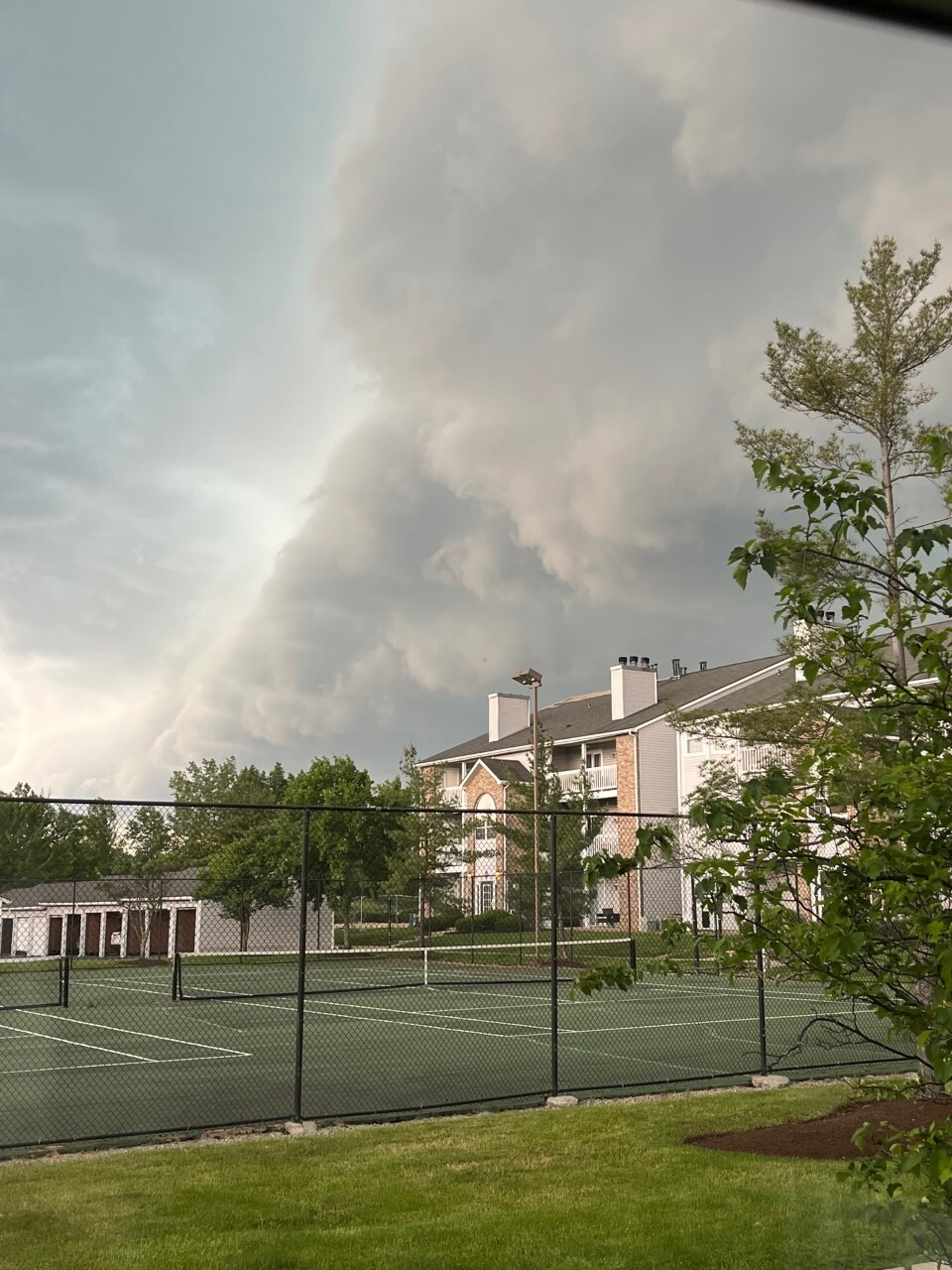
Strongsville
Photo courtesy of Julie Kiste.
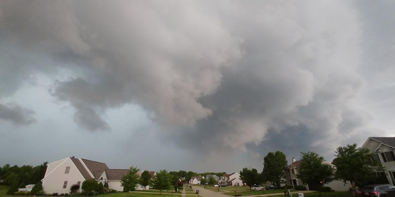
Brunswick
Photo courtesy of Mai Lavelle.
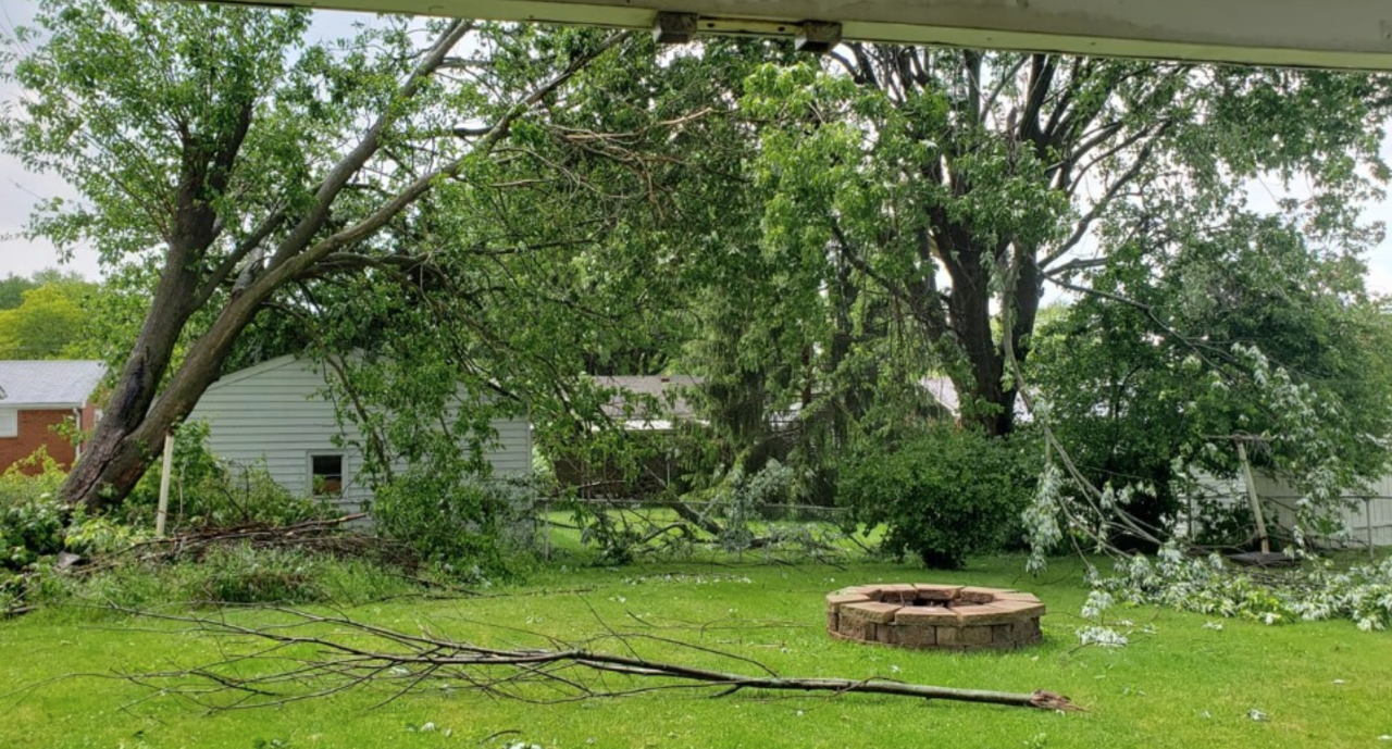
Massillon
Video courtesy of Karen LeMasters.
Picture courtesy of Adam Lambert
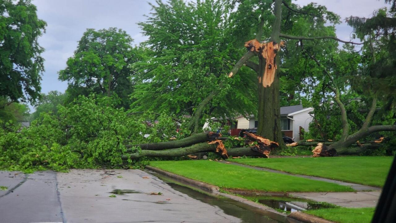
Lorain
Video courtesy of Lewis Rosa.
Picture courtesy of Richard Perez:
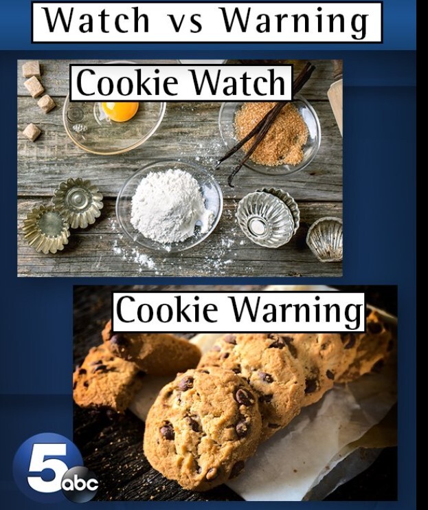
Remember: A watch means conditions are favorable for severe weather, but not happening yet. Stay weather aware and have a plan for severe weather in case warnings are issued. A warning means damaging storms are imminent or occurring in the warned box. Seek shelter!
This image below is a good analogy for a watch vs. a warning. A watch means you have the ingredients to make cookies (severe storms) but there are no cookies made yet. A warning means those ingredients resulted in baked cookies (severe storms have developed and can cause damage).
The Power of 5 weather team will be monitoring these storms all afternoon and evening. We will keep you updated all day!
Want the latest Power of 5 weather team updates wherever you go? Download the News 5 App free now: Apple|Android
Download the StormShield app for weather alerts on your iOS and Android device: Apple|Android
Click here to view our interactive radar.
Read and watch the latest Power of 5 forecast here.
Follow the News 5 Weather Team:
Mark Johnson: Facebook & Twitter
Remeisha Shade: Facebook & Twitter
