


Northeast Ohio was hit with another round of snow on Saturday, prompting numerous weather warnings across News 5's viewing area throughout the morning into the early afternoon.
Snow Squall Warnings issued by the National Weather Service began to roll in around 10:30 a.m., all of which expired by 1:45 p.m.
Counties such as Cuyahoga, Summit, Stark, Portage, Lake, Geauga, Ashtabula, Richland and Carroll were affected by this warning, with areas hit by sudden bursts of heavy snow and gusty winds.
In addition to the Snow Squall Warning, Richland County issued a Level 1 Snow Emergency, which was lifted around 2 p.m.
News 5 Meteorologist Allan Nosoff was live with weather updates Saturday afternoon:
Some counties, like Cuyahoga and Lake, even experienced thundersnow on Saturday, which occurs when a large temperature difference exists between the ground and the clouds, with ice crystals generating a lot of static electricity.
We saw the phenomenon last week in the Kent area:
RELATED: Did you see or hear it? Rare thundersnow strikes in Northeast Ohio
Viewer videos
News 5 viewer, Edgardo Rosa, shared this video he captured of thundersnow in Parma on Saturday morning:
In Painesville Township, News 5 viewer Connie B. captured this video of thundersnow in her backyard on Saturday afternoon:
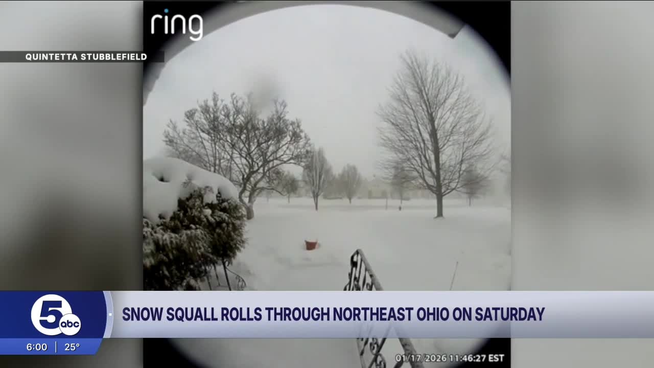
During Saturday's Snow Squall Warning, News 5 viewer Quintetta Stubblefield captured this Ring camera footage of snow hitting the South Euclid/Lyndhurst area:
News 5 viewer Shannon Green said she was driving from Kirtland to the westside early Saturday and got caught in the squall. She saw many cars, trucks sliding all over the place and some getting stuck in the median.
Want the latest Power of 5 weather team updates wherever you go? Download the News 5 App free now: Apple|Android
Click here to view our interactive radar.
Follow the News 5 Weather Team:
Trent Magill: Facebook & Twitter
Katie McGraw: Facebook & Twitter
Phil Sakal: Facebook & Twitter
Allan Nosoff: Facebook & Twitter
