


Concerts, sporting events, festivals! Cleveland and Northeast Ohio will be alive this weekend with numerous events! But will Mother Nature cooperate for all these fun activities? Let's discuss!
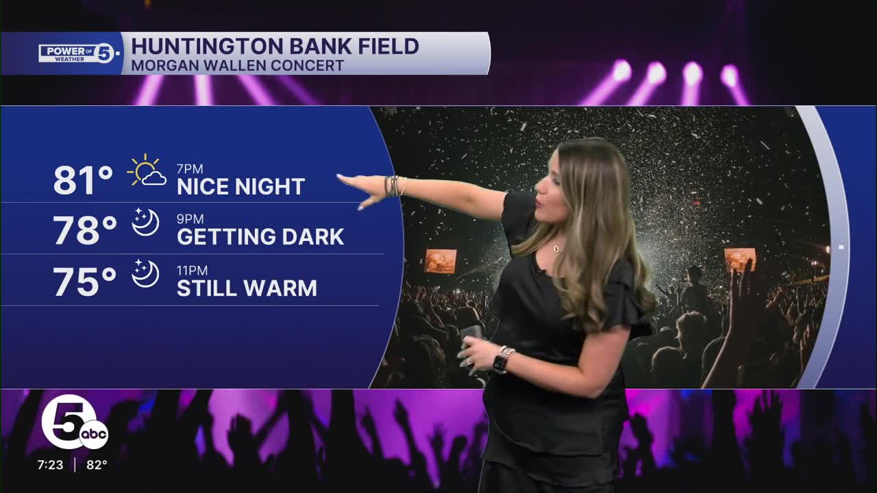
FRIDAY NIGHT: High pressure will remain in full control for the rest of tonight with clear skies, calm winds, and warm temperatures - even overnight! Lows will be in the 60s for much of Northeast Ohio, with slightly warmer temperatures near the lakeshore in the upper 60s and low 70s.

SATURDAY MORNING: The sun will rise around 6:30 a.m., and it will be a bright and beautiful start to the day with very few clouds and temperatures in the 60s...for a hot second. With ample sunshine, temperatures will climb quickly! By the late morning, it will already be in the 80s and climbing.

SATURDAY AFTERNOON: Stay cool! Highs will be in the upper 80s to the low 90s on Saturday afternoon. With higher dew points/humidity, it will feel even warmer. The "feels like" temperatures will be in the mid-90s! Be sure to stay hydrated if you are going to be outside! Much of Saturday will be dry, but you may notice more clouds moving overhead during the afternoon.


SATURDAY EVENING: More clouds in the sky are the first sign of changes in the atmosphere. As of Friday evening, it looks like it will remain dry for everyone for most of Saturday. This is especially true before the sun goes down around 8:30 pm.

SATURDAY NIGHT: After sunset, we will be carefully watching an area of storms called an MCS (mesoscale convective system) that will impact the northern Great Lakes (in Wisconsin and Michigan) Saturday afternoon, and if it continues to try and move into northern Ohio. This is not a guarantee for storms, though. The exact track and strength of these storms is still a bit of a question mark. For now, plan to listen for thunder after 9 p.m. on Saturday until early Sunday - mainly before sunrise.
As the line moves toward NEO, it appears to weaken. Therefore, the best chance for any storms, as well as any strong or severe storms, will be in northern and western Ohio, with a lower chance the farther south and east you live.


If you are planning on participating in the News 5K and The Rock Hall 10k and half-marathon, there could be a few lingering and light showers at the start of the races, but it looks to become much drier after the sun comes up, with only a few hit or miss t-showers for the rest of Sunday afternoon.
Therefore, even though we will be watching that area of storms, there will be plenty of dry time this weekend, especially during the days!


Want the latest Power of 5 weather team updates wherever you go? Download the News 5 App free now: Apple|Android
Click here to view our interactive radar.
Follow the News 5 Weather Team:
Trent Magill: Facebook & Twitter
Katie McGraw: Facebook & Twitter
Phil Sakal: Facebook & Twitter
Allan Nosoff: Facebook & Twitter
