


CLEVELAND — While strong winds from Sunday's storms have winded down, the effects of the severe weather are still being felt across NE Ohio on Monday morning.
Downed wires, fallen signs and broken utility poles were some of the remnants of Sunday’s storm.
Wicked winds shredded the "Welcome to Cleveland" sign on Ontario Street in Cleveland.

The Rocket Mortgage FieldHouse signed tipped over on Huron Road.

The last time Cleveland had wind gusts over 71mph was with the remnants of Hurricane Ike on Sept 14, 2008. Northeast Ohio had stronger winds on Sunday than during the remnants of Hurricane Sandy when winds gusts were 68 mph.
Power of 5 meteorologist Trent Magill released a list of Sunday's wind gusts by city.
Yesterday's highest gusts... Hopefully your power is back on this morning and we can get the damage cleaned up safely. GMC starts in 30 minutes pic.twitter.com/OLfZ2DpiDR
— Trent Magill (@TrentMWeather) November 16, 2020
VanCuren tree removal crews arrived on West 116th Street where a massive tree fell onto a home.
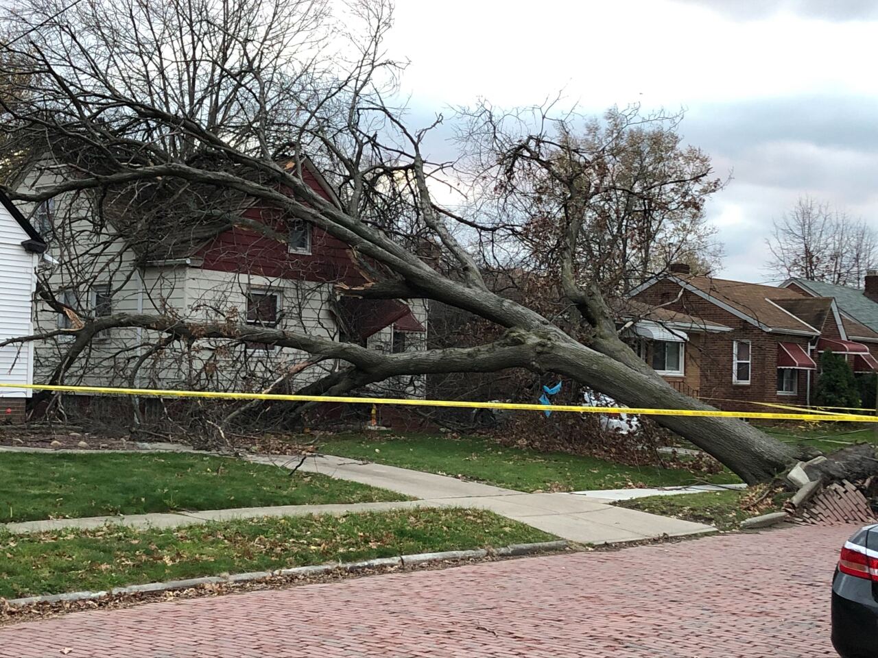
Welp, help is on the way! VanCuren tree removal crews are now here to cut down those massive downed trees @WEWS pic.twitter.com/yZoIYUruCw
— Taneisha Cordell (@TaneishaCordell) November 16, 2020
On Monday, clean up efforts begin. It'll be breezy but gusts should stay under 30 mph. That means no additional damage is likely.
Click here to view our interactive radar.
Read and watch the latest Power of 5 forecast here.
Download the News 5 app for more weather information from the Power of 5 weather team: Apple|Android
Download the StormShield app for weather alerts on your iOS and Android device: Apple|Android
Follow the News 5 Weather Team:
Mark Johnson: Facebook & Twitter
Bryan Shaw: Facebook & Twitter
