


CLEVELAND — The National Weather Service has issued Winter Storm Watches and Warnings for most of Northeast Ohio beginning Wednesday night as a major winter storm begins with rain Wednesday before turning into ice and snow.
The Winter Storm Watch is in effect for Ashland, Ashtabula, Geauga, Holmes, Medina, Richland, Stark, Summit, Tuscarawas and Wayne counties.
The Winter Storm Warning is in effect for Cuyahoga, Erie, Huron, Lake and Lorain counties.
The warnings and watches are in effect from 7 p.m. Wednesday to 7 a.m. Friday.
Heavy mixed precipitation, mainly in the form of snow is expected. Total snow accumulations of 9 to 14 inches and ice accumulations of a light glaze from freezing rain are expected.

Motorists should expect travel to be very difficult. Patchy blowing snow could significantly reduce visibility.
The heaviest snow is expected Wednesday night through Thursday. Snowfall rates may exceed one inch per hour at times.
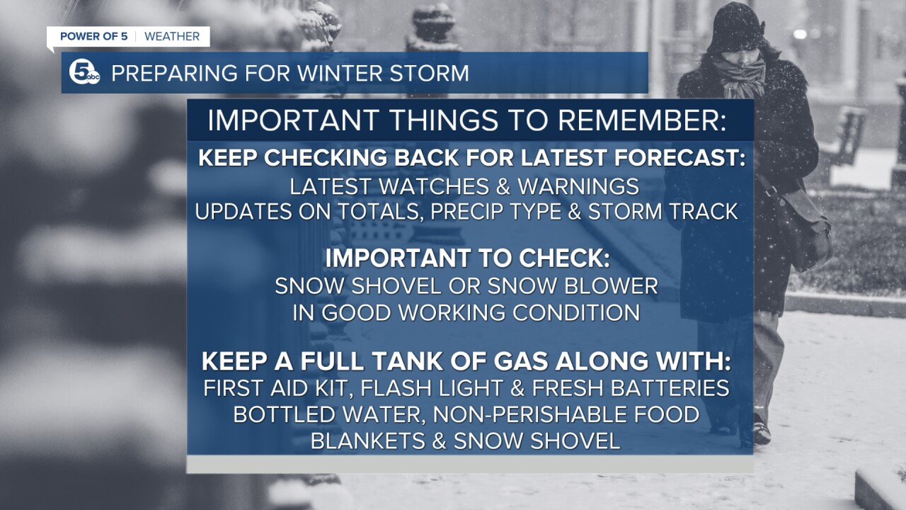
The National Weather Service said, “if you must travel, keep an extra flashlight, food and water in your vehicle in case of an emergency.”
RELATED: MAJOR WINTER STORM: Flooding rain followed by dangerous ice and heavy snow heading our way
Want the latest Power of 5 weather team updates wherever you go? Download the News 5 App free now: Apple|Android
Download the StormShield app for weather alerts on your iOS and Android device: Apple|Android
Click here to view our interactive radar.
Read and watch the latest Power of 5 forecast here.
Follow the News 5 Weather Team:
Mark Johnson: Facebook & Twitter
Remeisha Shade: Facebook & Twitter
