


CLEVELAND — The beautiful weather will continue into Saturday, with hotter temperatures and respectable humidity remaining. Highs will be in the mid-to-upper 80s, so don't forget the sunscreen and water. This changes for Sunday with storms likely later in the morning through early afternoon. We'll update the timing with more specific details when we learn more about the storms.
Below-average temperatures will then move in for the start of the new work week, as highs fall into the low to mid 70s on Monday and Tuesday. Rain chances will be minimal Monday through Wednesday.
DAILY FORECAST:
Saturday: More sunshine. Touch humid.| High: 86º
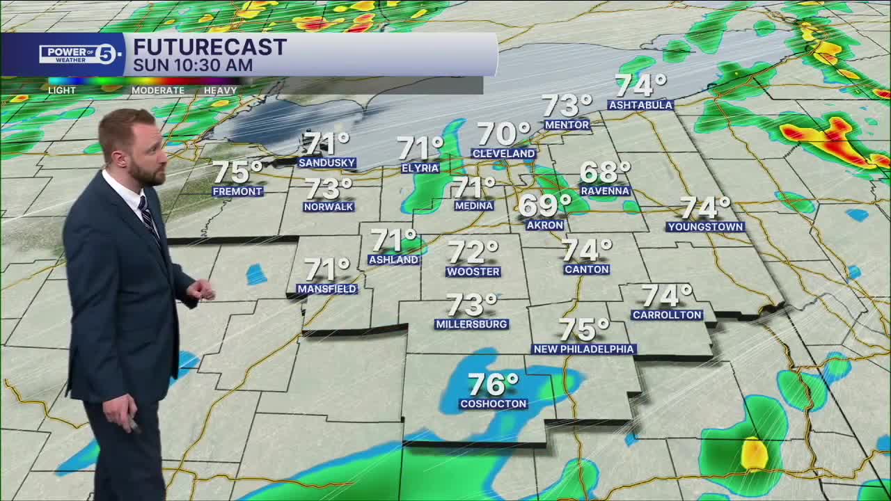
Sunday: Scattered rain/storms. Warm and humid.| High: 80º
Monday: Partly cloudy. Dry and cooler.| High: 73º
Tuesday: Partly cloudy. PM showers possible.| High: 75º
Wednesday: Partly cloudy. Isolated showers possible.| High: 77º
Thursday: Scattered rain, few storms.| High: 79º
Juneteenth: Partly cloudy. Shower possible.| High: 81º
Want the latest Power of 5 weather team updates wherever you go? Download the News 5 App free now: Apple|Android
Click here to view our interactive radar.
Follow the News 5 Weather Team:
Trent Magill: Facebook & Twitter
Katie McGraw: Facebook & Twitter
Phil Sakal: Facebook & Twitter
Allan Nosoff: Facebook & Twitter
