


CLEVELAND — Expect some patchy fog during the morning on Sunday. Some sunshine Sunday afternoon will lead to slightly warmer temperatures, with highs in the mid to upper 50s.
Summer-like weather surges back Monday and Tuesday, along with another chance for stronger storms. Current timing brings storms in Monday night, limiting the severe potential, with a cold front sparking more storms later on Tuesday.
More rain will return on Wednesday, along with cooler temperatures. The end of the week will see a slight chance for a shower and or mist, but the well below average temperatures return Thursday through the start of next weekend.
DAILY FORECAST:
Sunday: Patchy fog. Some afternoon sun. Still cool. | High: 55º
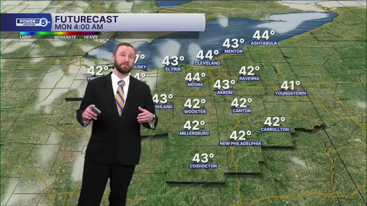
Monday: More sunshine and much warmer. Storms at night. | High: 75º
Tuesday: Storms likely. Strong storms possible. | High: 72º
Wednesday: Another round of rain. Colder. | High: 60º
Thursday: Isolated shower. More clouds and cooler. | High: 53º
Friday: Isolated shower chances. Cool. | High: 51º
Saturday: Mostly cloudy. Cool. | High: 50º
Want the latest Power of 5 weather team updates wherever you go? Download the News 5 App free now: Apple|Android
Click here to view our interactive radar.
Follow the News 5 Weather Team:
Trent Magill: Facebook & Twitter
Katie McGraw: Facebook & Twitter
Phil Sakal: Facebook & Twitter
Allan Nosoff: Facebook & Twitter
