


CLEVELAND — Get ready to sweat! After a couple of beautiful days, we are turning up the heat!
A ridge of high pressure is building over the region. This ridge will keep us dry for a few more days and increase our temperatures + humidity starting on Wednesday.
After a cool start to the day with temperatures in the upper 50s and low 60s, temperatures will climb into the upper 80s and low 90s by the afternoon. The high heat and humidity will continue through the end of the work week. With higher dew points, it could feel like the upper 90s to low triple digits, especially on Thursday.
Storm chances will begin to return late Thursday and continue into Friday, and will linger into the weekend. We will be watching the radar carefully for any strong or severe storms on Friday and Saturday.
DAILY FORECAST:
Tuesday Night: High clouds and comfortable.| Low: 63º
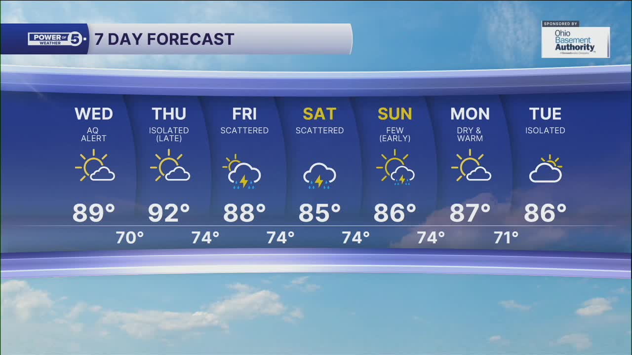
Wednesday: Heat building. Stays dry. | High: 88º
Thursday: Hot again. Dry until late.| High: 92º
Friday: Hot with scattered storms. | High: 88º
Saturday: Humid with more storms. | High: 85º
Sunday: Few storms. Warm & muggy. | High: 86º
Download the News 5 app for the latest weather updates:
Follow the News 5 Weather Team:
Trent Magill: Facebook & Twitter
Katie McGraw: Facebook & Twitter
Phil Sakal: Facebook & Twitter
