



CLEVELAND —
The rest of tonight...
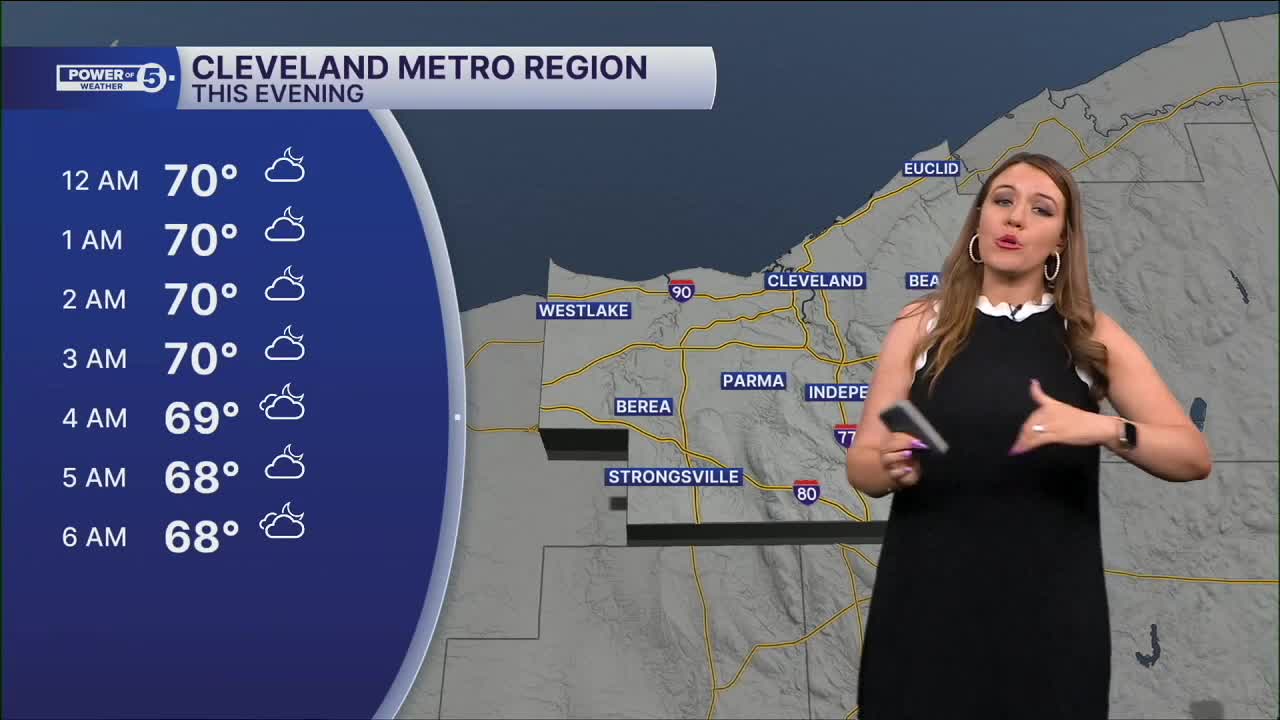
As expected, a cluster of storms moved in from the west this afternoon and evening, bringing the strongest storms across the snowbelt region in Lake, northern Geauga, and northern Ashtabula Counties. And that was the show! The rest of the night will be variably cloudy and mild, with temperatures in the upper 60s and low 70s. A couple more showers with isolated downpours will be possible tonight, especially closer to the lake. Tomorrow will be the calmest day this week so far! The majority of NEO will be dry....
Power of 5 Regions spotlights: West AND South Regions
Storms shift farther south on Thursday and will continue to batter southern Ohio. The humidity sticks around, though, so I can't completely rule out an isolated t-shower or two, especially south region along with the southern portion of the west region. These showers and downpours are most likely during the evening. Otherwise, it looks like a dry, warm, muggy day, with highs near 80.
Looking ahead
A similar story for Friday. The best chance of additional showers and storms is in our southern region, but even there, it looks to be isolated t-showers. There looks to be plenty of dry time this weekend, but a few thunderstorms are expected late Saturday/early Sunday, with another round of storms possible Sunday evening into Monday. The pattern looks to FINALLY flip early next week, with fully dry days by Tuesday and cooler-than-average temperatures.
5-Day Forecast
Tonight: Stray showers. Warm and humid. | Low: 67º
Thursday: A few t-showers to the SW. | High: 80º
Friday: Isolated t-showers, especially south.| High: 81º
Saturday: Isolated t-showers late. Mostly cloudy. | High: 80º
Sunday: Strong storms possible. | High: 86º
Learn the lingo: The Power of 5 Weather Team wants to get you your forecast closer to home. We have broken NEO into 5 separate and distinct regions. Find your region to get your hyper-local forecast!
- Cleveland Metro Region: Cuyahoga County. This region includes cities such as Cleveland, Parma, Westlake, Berea, Strongsville, Independence, Solon, Beachwood and Euclid.
- Snowbelt Region: Lake, Geauga and Ashtabula Counties. This includes cities such as Mentor, Geneva, Ashtabula, Bainbridge, Chardon, Burton and Orwell.
- Akron-Canton Region: Summit, Stark and Portage Counties. This region includes cities such as Akron, Canton, Hudson, Ravenna, Mantua, Alliance, and Canal Fulton.
- West Region: Lorain, Medina, Erie, Huron, Richland and Ashland Counties. This region includes cities such as Lorain, Wellington, Medina, Lodi, Ashland, Mansfield, Willard, and Sandusky.
- South Region: Wayne, Holmes, Tuscarawas, Carroll Counties. This region includes Wooster, Millersburg, New Philadelphia, Strasburg, Mineral City, Carrollton, and Newcomerstown
Want the latest Power of 5 weather team updates wherever you go? Download the News 5 App free now: Apple|Android
Click here to view our interactive radar.
Follow the News 5 Weather Team:
Trent Magill: Facebook & Twitter
Katie McGraw: Facebook & Twitter
Phil Sakal: Facebook & Twitter
Allan Nosoff: Facebook & Twitter
