



CLEVELAND — Wednesday was nearly perfect...besides that pesky wind! Thankfully, the winds back off on Thursday!
I will keep it short and sweet. The weather will be terrific on Thursday. Tons of sun, less wind, no rain, low humidity, and warm temperatures around 80 degrees.
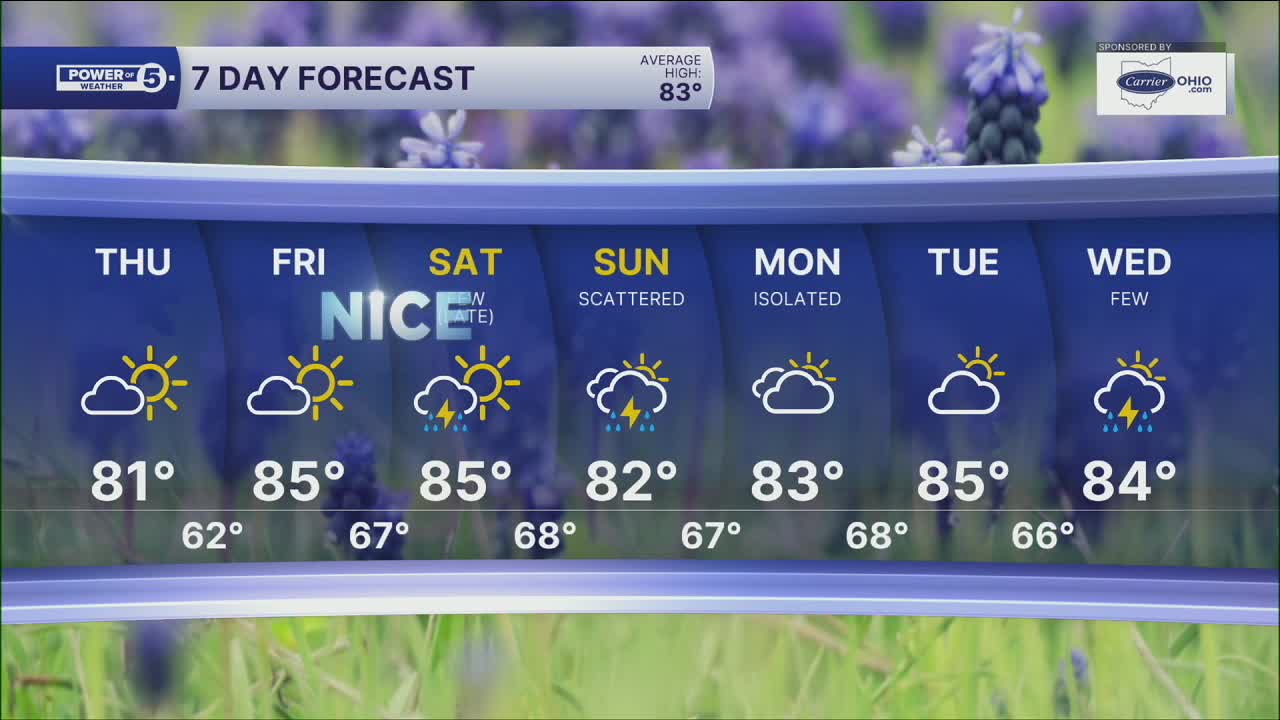
Summer warmth starts to build back in by Friday and the weekend. Highs will likely be in the mid-80s, and humidity will start to climb as well. Making it feel hotter than it actually is outside. More clouds will start to build in by Friday, but we are staying dry until the weekend.
As of Wednesday night, it looks like rain chances will increase throughout Saturday and continue into Sunday. The best chance for rain Saturday night into Sunday morning. Exact ETA is still a little bit up in the air, but if you have evening plans on Saturday, be aware rain will be en route.
Power of 5 Region Spotlight: South Region
Since the wind is coming from off the lake, it will help keep nights warmer while days are slightly cooler than the rest of Northeast Ohio. Our lakeshore communities will be in the mid 60s. Compare that to our southern region, where it will likely be about ten degrees cooler Thursday morning with temperatures in the low & mid 50s!

DAILY FORECAST:
Tonight: Cooler inland. Breezy winds begin to relax.| Low: 64º
Thursday: Mostly sunny. Touch warmer. | High: 81º
Friday: Partly cloudy. Seasonable. | High: 85º
Saturday: More clouds. T'storm chances late. | High: 85º
Sunday: Scattered t'storms. Humid. | High: 85°
Monday: Shower possible. Mostly cloudy. | High: 83º
Tuesday: Touch warmer. T'storm chance. | High: 85º
Want the latest Power of 5 weather team updates wherever you go? Download the News 5 App free now: Apple|Android
Click here to view our interactive radar.
Follow the News 5 Weather Team:
Trent Magill: Facebook & Twitter
Katie McGraw: Facebook & Twitter
Phil Sakal: Facebook & Twitter
Allan Nosoff: Facebook & Twitter
