



CLEVELAND — Skies will be mostly sunny on Wednesday, but we'll notice more clouds by the end of the afternoon, with highs in the mid to upper 70s.
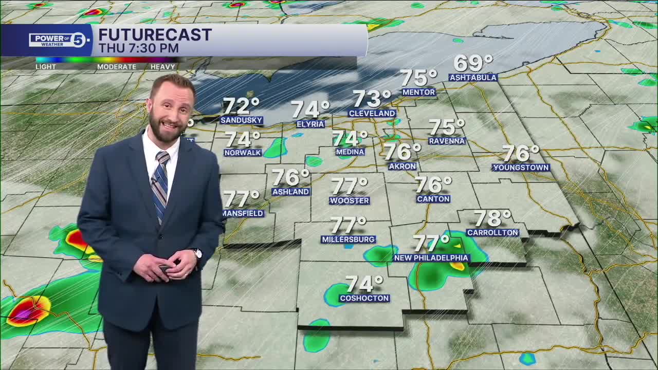
A warm front will bring rain chances on Thursday morning, and then a cold front will bring the chance for a few storms by the afternoon. A strong storm possibility moves in by the mid to late afternoon on Thursday with the cold front. Temperatures will be a little closer to par, but not quite there...for at least the moment.
Another round of scattered rain and a few storms in the forecast to wrap up the week and start of the weekend, as another area of low pressure moves into Ohio. Best chances of rain look to be on Saturday for the entirety of Northeast Ohio, with more of our southern communities seeing chances on Friday.
Then once we head into next week, the heat begins to build! Upper 80s and lower 90s are looking more possible by Monday through the middle of next week, along with much more noticeable humidity.
DAILY FORECAST:
Wednesday: Brighter & still comfortable. Touch warmer. High: 76º
Thursday: Morning rain. PM few storms. High: 79º
Friday: Scattered rain, Few storms. High: 77º
Saturday: Scattered storms. Muggy. High: 79º
Sunday: Isolated rain. More seasonable. Muggy. High: 83º
Monday: Possible storm. Warmer and muggy. High: 87º
Tuesday: Isolated storms. Hot & humid. High: 91º
Want the latest Power of 5 weather team updates wherever you go? Download the News 5 App free now: Apple|Android
Click here to view our interactive radar.
Follow the News 5 Weather Team:
Trent Magill: Facebook & Twitter
Katie McGraw: Facebook & Twitter
Phil Sakal: Facebook & Twitter
Allan Nosoff: Facebook & Twitter
