



CLEVELAND —
Rain holds off until the end of the week
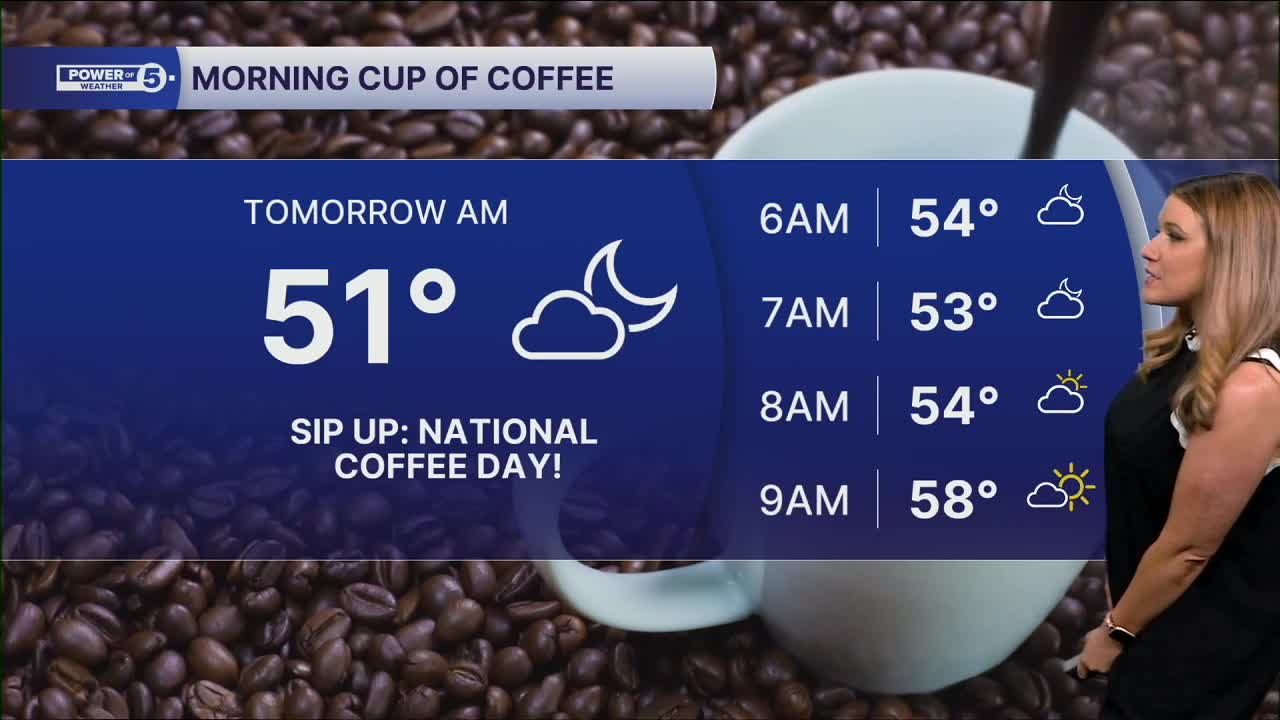
Grab a light jacket if you're heading out early Tuesday. As skies clear tonight, temps fall back to the low 50s and mid-50s along the lakeshore. Some of the colder inland spots may dip into the upper 40s.
Tuesday is the pick of the week! Sunshine from start to finish and highs in the lower and mid-70s. We warm things up even more Wednesday with temps in the mid to upper 70s, then push into the 80s by Thursday afternoon with a southerly breeze and gusts around 20-25 mph. It will feel like summer again!
The next weather maker arrives late Thursday. That's important because of the Browns' Thursday Night Football game. Plan to bring a poncho if you are going to the game, but we may be able to squeeze out the game before the rain arrives.
It will arrive first in northwest Ohio and our west region. As of Monday evening, the system continues to slow, and I am cautiously optimistic the rain could hold off until after midnight, with all of the rain falling on Friday. We will continue to monitor the latest timing of the rain in the coming days.
South Region Highlight
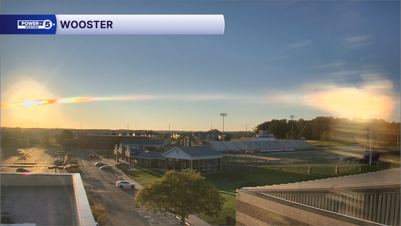
This evening, there was a cool weather phenomenon that I was able to see around sunset Monday evening on our Wooster cam: "two suns"! The second sun is also known as a sun dog. Sunlight is shining through ice crystals high in the sky and bending the sunlight. The ice crystals act like a prism! Pretty cool! And it will be cool tonight across the south region, with low 50s and maybe a couple of upper 40s.
5-Day Forecast:
Monday Night: Mostly clear and calm winds. Patchy fog. | Low: 53º
Tuesday: Tons of seasonal sun. | High: 73º
Wednesday: Warming up. Still dry. | High: 78º
Thursday: Summery afternoon & breezy. A few storms late. | High: 83º
Friday: Scattered rain and thunder with dropping temps. | High: 60s
Learn the lingo: The Power of 5 Weather Team wants to get you your forecast closer to home. We have broken NEO into 5 separate and distinct regions. Find your region to get your hyper-local forecast!
- Cleveland Metro Region: Cuyahoga County. This region includes cities such as Cleveland, Parma, Westlake, Berea, Strongsville, Independence, Solon, Beachwood, and Euclid.
- Snowbelt Region: Lake, Geauga, and Ashtabula Counties. This includes cities such as Mentor, Geneva, Ashtabula, Bainbridge, Chardon, Burton, and Orwell.
- Akron-Canton Region: Summit, Stark, and Portage Counties. This region includes cities such as Akron, Canton, Hudson, Ravenna, Mantua, Alliance, and Canal Fulton.
- West Region: Lorain, Medina, Erie, Huron, Richland, and Ashland Counties. This region includes cities such as Lorain, Wellington, Medina, Lodi, Ashland, Mansfield, Willard, and Sandusky.
- South Region: Wayne, Holmes, Tuscarawas, Carroll Counties. This region includes Wooster, Millersburg, New Philadelphia, Strasburg, Mineral City, Carrollton, and Newcomerstown
You can send us photos and short videos by filling out the form below:
Want the latest Power of 5 weather team updates wherever you go? Download the News 5 App free now: Apple|Android
Click here to view our interactive radar.
Follow the News 5 Weather Team:
Trent Magill: Facebook & Twitter
Katie McGraw: Facebook & Twitter
Phil Sakal: Facebook & Twitter
Allan Nosoff: Facebook & Twitter
