


CLEVELAND — I hope you got to enjoy the thaw over the last couple of days, as winter is returning with a blast of arctic air and snow chances for days.
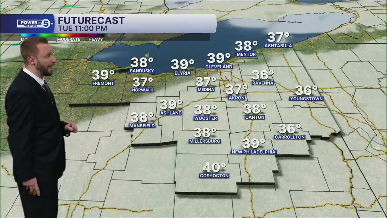
Temps dive from near 40 degrees early Wednesday into the 20s and Teens by sunset. A few rain showers will change over to snow by the late morning into the afternoon, making roads slick for the evening commute. Wet as you head to school and work, slick as you head home. Winds will remain gusty, dropping Wind Chills into the Teens and Single Digits throughout the afternoon
The pattern will continue for the next several days. Below-average temperatures are expected to linger into the end of the week, with more snow on the way. No major snowstorms, but over the next several days, several clippers will produce minor snowfall, that will eventually lead to significant snow totals.
Winter is back!
DAILY FORECAST:
Wednesday: Rain changing to snow as temps tumble. | High: 22º
Thursday: Lake effect snow. | High: 20º
Friday: A few snow showers. | High: 30º
Saturday: More snow possible. | High: 30º
Sunday: More snow possible. Frigid. | High: 20º
MLK Day: Scattered snow possible. Frigid. | High: 25º
Tuesday: Few snow possible. Frigid. | High: 22º
Want the latest Power of 5 weather team updates wherever you go? Download the News 5 App free now: Apple|Android
Click here to view our interactive radar.
Follow the News 5 Weather Team:
Trent Magill: Facebook & Twitter
Katie McGraw: Facebook & Twitter
Phil Sakal: Facebook & Twitter
Allan Nosoff: Facebook & Twitter
