


CLEVELAND — Dangerous cold continues to move in tonight. A Cold Weather Advisory goes into effect this evening and will continue through Noon Tuesday. Temperatures will drop to around Zero tonight. It will feel more like 15 to 20 degrees below zero tonight into the morning on Tuesday with the Wind Chill.
Despite seeing some sunshine on Tuesday, temperatures will remain frigid. Highs will only be in the lower Teens for most areas across Northeast Ohio.
A brief reprieve in store on Wednesday, with highs in the low to mid 30s. Scattered snow showers will accompany the warm-up.
Another arctic blast moves in round out the week, as highs drop into the Teens again by Friday. A few snow showers will be possible Thursday and Friday.
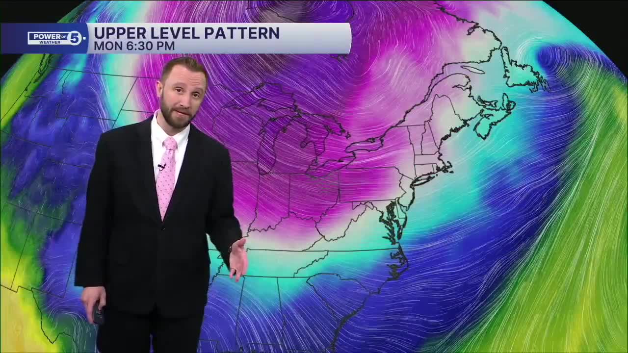
This pattern is holding for at least two more weeks. A major storm is possible this weekend, but as it is currently looking most of the storm will remain south of Cleveland, but could impact the Route 30 corridor and areas to the south, mainly on Sunday. Something we'll keep an eye on and bring you the latest.
Stay Warm and Safe!
DAILY FORECAST:
Tuesday: Dangerous cold. -15-20 wind chills early. | High: 14º
Wednesday: Snow likely, especially in the morning. Warmer. | High: 33º
Thursday: Few snow showers. Colder. | High: 25º
Friday: Few snow showers. Colder again. | High: 16º
Saturday: Dangerous Cold. | High: 9º
Sunday: Snow Possible, Mainly South. | High: 14º
Monday: Drier and Cold. | High: 18º
Want the latest Power of 5 weather team updates wherever you go? Download the News 5 App free now: Apple|Android
Click here to view our interactive radar.
Follow the News 5 Weather Team:
Trent Magill: Facebook & Twitter
Katie McGraw: Facebook & Twitter
Phil Sakal: Facebook & Twitter
Allan Nosoff: Facebook & Twitter
