

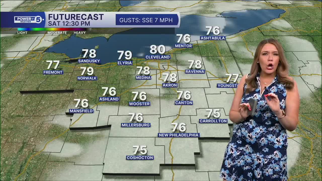


CLEVELAND — Friday night will be the coldest night in a while, and even having the windows open may leave your home chilly Saturday morning. Lows will dip down into the 50s everywhere, with some isolated upper 40s in higher elevations.
Power of 5 Regions highlight: South Region
It was hard to pick just one of our 5 regions to highlight, because the weather is great across all of NEO over the next 24 hours. One thing to note, though, is the temperatures Saturday morning! It is going to be chilly! With high pressure in control, the skies will be very clear, allowing the mercury to fall into the 50s for much of the area, with the coolest numbers showing up farther inland in our south region. Plan for LOW 50s out the door tomorrow morning. The crisp air does not last long. A heat wave is coming at us next week!
Looking ahead
Warmer temps and more humidity return by the end of the weekend. We jump from the 50s Saturday morning to a seasonable afternoon in the low 80s. We jump another 5 degrees by Sunday, and ANOTHER 5 by Monday! Temperatures are expected to climb to 90 degrees for the start of September! A true heat wave is possible on Monday, Tuesday, and Wednesday.
Rain chances are pretty limited over the next few days. A couple of isolated showers are possible on Sunday, but they look light. Isolated chances for rain and random rumbles continue on Monday and Tuesday. It appears the heat wave ends by the end of the work week, with increased storm chances by Wednesday night and into Thursday. We will keep you posted on exact timing in the coming days.
5-Day Forecast
Tonight: Chilly, calm, and clear. | Low: 56º
Saturday: Mostly sunny. | High: 82º
Sunday: Sun, cloud mix, warmer & mostly dry. | High: 86º
Monday: Partly sunny. Hot and humid. Feels like mid-90s. | High: 90º
Tuesday: Partly sunny. Hot and humid. Isolated PM storm. Feels like mid-90s. | High: 91º
Learn the lingo: The Power of 5 Weather Team wants to get you your forecast closer to home. We have broken NEO into 5 separate and distinct regions. Find your region to get your hyper-local forecast!
- Cleveland Metro Region: Cuyahoga County. This region includes cities such as Cleveland, Parma, Westlake, Berea, Strongsville, Independence, Solon, Beachwood, and Euclid.
- Snowbelt Region: Lake, Geauga, and Ashtabula Counties. This includes cities such as Mentor, Geneva, Ashtabula, Bainbridge, Chardon, Burton, and Orwell.
- Akron-Canton Region: Summit, Stark, and Portage Counties. This region includes cities such as Akron, Canton, Hudson, Ravenna, Mantua, Alliance, and Canal Fulton.
- West Region: Lorain, Medina, Erie, Huron, Richland, and Ashland Counties. This region includes cities such as Lorain, Wellington, Medina, Lodi, Ashland, Mansfield, Willard, and Sandusky.
- South Region: Wayne, Holmes, Tuscarawas, Carroll Counties. This region includes Wooster, Millersburg, New Philadelphia, Strasburg, Mineral City, Carrollton, and Newcomerstown
Want the latest Power of 5 weather team updates wherever you go? Download the News 5 App free now: Apple|Android
Click here to view our interactive radar.
Follow the News 5 Weather Team:
Trent Magill: Facebook & Twitter
Katie McGraw: Facebook & Twitter
Phil Sakal: Facebook & Twitter
Allan Nosoff: Facebook & Twitter
