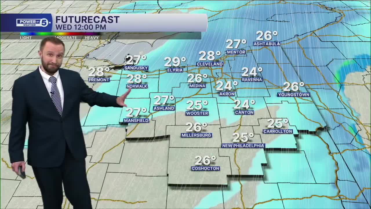


CLEVELAND — A warm front moves into the region before dawn on Wednesday, this will bring snow showers to the region. Snow chances will linger through the morning and begin to taper off by the early afternoon.
Slushy accumulations of a trace to 2" likely between dawn and the early afternoon on Wednesday. A GUSTY southwest wind of 40 mph will help us warm into the mid to upper 30s Wednesday afternoon. Briefly...
Thursday is cold again. Temps stuck in the 20s, we drop into the teens, then single digits on Friday. Dangerously cold again to end the week. All before our next shot at snow. We're watching Sunday VERY closely.
DAILY FORECAST:
Wednesday: Scattered snow followed by gusts to 40mph. | High: 36º
Thursday: Lake effect snow showers. | High: 26º
Friday: Lake effect snow showers with dropping temps. | High: 6º
Saturday: Brutal cold. | High: 8º
Sunday: Watching Closely. Frigid. | High: 15º
Monday: Snow Showers Possible. Frigid. | High: 17º
Tuesday: Partly Sunny. Touch Warmer. | High: 21º
Want the latest Power of 5 weather team updates wherever you go? Download the News 5 App free now: Apple|Android
Click here to view our interactive radar.
Follow the News 5 Weather Team:
Trent Magill: Facebook & Twitter
Katie McGraw: Facebook & Twitter
Phil Sakal: Facebook & Twitter
Allan Nosoff: Facebook & Twitter
