


CLEVELAND — Shower chances will linger into the morning on Tuesday, but we'll dry out for the afternoon, along with warmer temperatures. Most will top off in the upper 40s on Tuesday, but a few locations will be around 50.
Chilly air comes back for Christmas Eve and Christmas Day. Highs in the upper 30s to around 40 on Christmas Eve and well into the 40s on Christmas Day.
We'll be watching Friday closely, with more rain, but models are showing signs of freezing rain being possible, so stay tuned!
DAILY FORECAST:
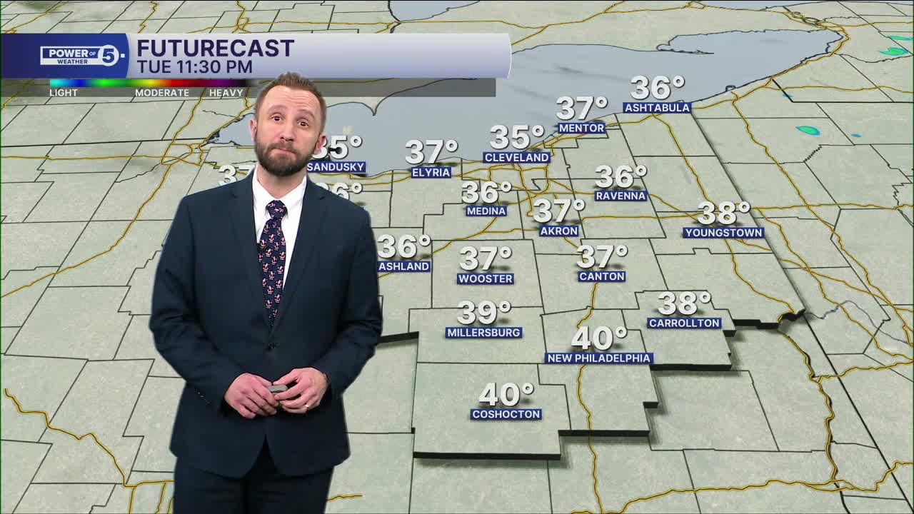
Tuesday: Scattered morning rain followed by a nice thaw. | High: 47º
Christmas Eve: Chilly but dry. | High: 40º
Christmas Day: Isolated morning showers. | High: 45º
Friday: Showers. Watching closely. | High: 47º
Saturday: Rain Possible Late. | High: 44º
Sunday: Rain. Storms Possible. | High: 47º
Monday: Much colder. Lake effect snow possible. | High: 25º
Want the latest Power of 5 weather team updates wherever you go? Download the News 5 App free now: Apple|Android
Click here to view our interactive radar.
Follow the News 5 Weather Team:
Trent Magill: Facebook & Twitter
Katie McGraw: Facebook & Twitter
Phil Sakal: Facebook & Twitter
Allan Nosoff: Facebook & Twitter
