



CLEVELAND —
Sun-sational weekend
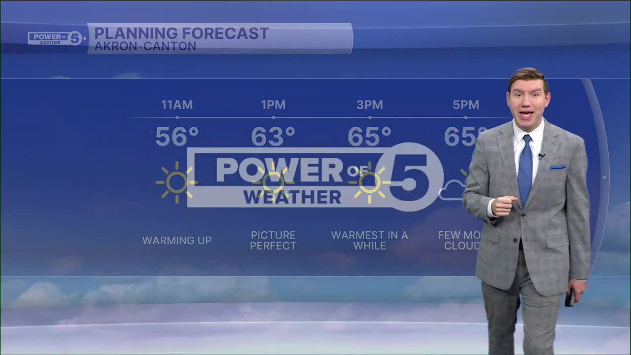
Northeast Ohio weather continues to be fantastic, with plenty of words that the Power of 5 team has said on repeat. And more of the same will be in the forecast to wrap up the weekend. After a chilly morning, with lows in the mid to upper 30s and lower 40s lakeside, more above average warmth returns Sunday afternoon. Highs will top off in the mid to upper 60s for most areas, with a near 70 degree reading possible. Skies will see an uptick in clouds for the afternoon, along with a light breeze from time to time. So another great Fall day to get outside!
Power of 5 Regions highlight: Snowbelt
Some of the chilliest air the last few mornings have been in the Snowbelt Region. With a dry (at the ground!) cold front passing through this evening, extra clouds will keep temps a bit warmer.
Remarkable warmth alongside dry streak
There are two chances for a 70-degree day the next couple of days, and if it hits 70, it'll be the first in over a week. Beyond the brief midweek temp stumble, a 3-day 70-degree streak is likely rolling into Halloweekend.
Any rain chances look to hold off until at least Thursday, but that storm is also currently expected to stay north of Northeast Ohio. The pattern will turn wetter by Halloweekend. It is too early to know if the rain holds off until after trick-or-treating but next Sunday and Monday will likely be rainy at this point. Be sure to check back for the Halloween forecast and if it will be a trick or a treat!
5-Day Forecast:
Sunday: Mostly sunny & warm. | High: 69º
Monday: A few more clouds. | High: 70º
Tuesday: Mostly sunner & cooler. | High: 63º
Wednesday: Partly sunny & a touch warmer. | High: 69º
Thursday: Partly sunny & a chance for rain. | High: 72º
Learn the lingo: The Power of 5 Weather Team wants to get you your forecast closer to home. We have broken NEO into 5 separate and distinct regions. Find your region to get your hyper-local forecast!
- Cleveland Metro Region: Cuyahoga County. This region includes cities such as Cleveland, Parma, Westlake, Berea, Strongsville, Independence, Solon, Beachwood, and Euclid.
- Snowbelt Region: Lake, Geauga, and Ashtabula Counties. This includes cities such as Mentor, Geneva, Ashtabula, Bainbridge, Chardon, Burton, and Orwell.
- Akron-Canton Region: Summit, Stark, and Portage Counties. This region includes cities such as Akron, Canton, Hudson, Ravenna, Mantua, Alliance, and Canal Fulton.
- West Region: Lorain, Medina, Erie, Huron, Richland, and Ashland Counties. This region includes cities such as Lorain, Wellington, Medina, Lodi, Ashland, Mansfield, Willard, and Sandusky.
- South Region: Wayne, Holmes, Tuscarawas, Carroll Counties. This region includes Wooster, Millersburg, New Philadelphia, Strasburg, Mineral City, Carrollton, and Newcomerstown
You can send us photos and short videos by filling out the form below:
Want the latest Power of 5 weather team updates wherever you go? Download the News 5 App free now: Apple|Android
Click here to view our interactive radar.
Follow the News 5 Weather Team:
Trent Magill: Facebook & Twitter
Katie McGraw: Facebook & Twitter
Phil Sakal: Facebook & Twitter
Allan Nosoff: Facebook & Twitter
