


CLEVELAND — Clouds will build back in during the overnight, as another front moves towards the region. Shower chances will begin to arrive early on Tuesday. These look to move into our western communitie4s around 5 to 6 am and exit our eastern communities around 10 am. It will be dry for several hours during the late morning and early afternoon before a second round arrives during the late afternoon into the evening.
The second round looks to pack more of a punch with stronger winds and heavier rain possible. The severe threat is low, but we will certainly be watching for isolated damaging wind gusts from about 5 pm until 10 pm.
This system will also kick up our winds on Tuesday and Wednesday. Gusts of 30-40 mph will be possible by Tuesday evening and into Wednesday. The low pressure will also hang around through the middle of the week, as cooler air moves over a warm Lake Erie. This will bring more lake effect showers on Wednesday and Thursday.. Temperatures will remain well below average for most of the week, as highs will only top off in the mid to upper 50s.
Drier conditions move in by Friday, before more shower chances return for the weekend, as highs top off in the upper 50s to around 60.
DAILY FORECAST:
Tuesday: Two rounds of rain/storms. Breezy. | High: 59º
Wednesday: Lake Effect Showers. Cooler again. | High: 54º
Thursday: Lingering showers. Coolest day. | High: 55º
Friday: Partly sunny. Not as cool but drier. | High: 56º
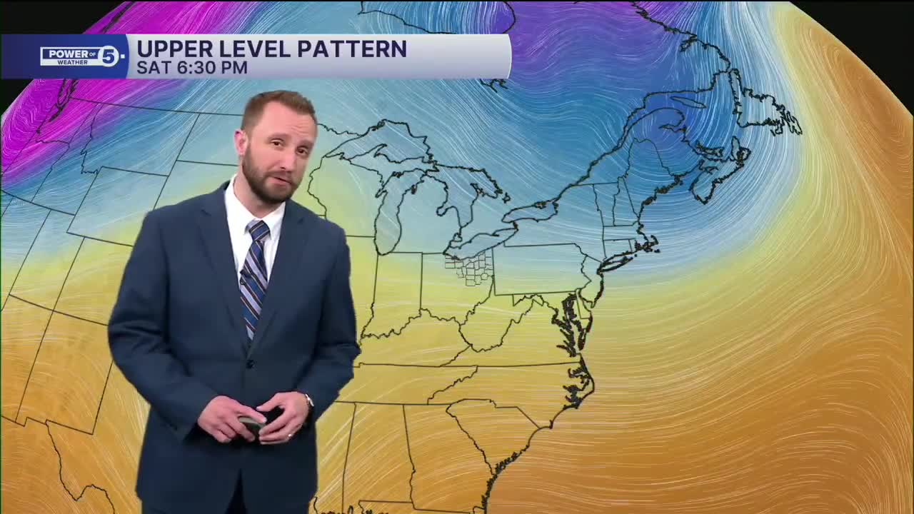
Saturday: Few showers. Touch warmer. | High: 55º
Sunday: Shower chances continue. | High: 57º
Want the latest Power of 5 weather team updates wherever you go? Download the News 5 App free now: Apple|Android
Click here to view our interactive radar.
Follow the News 5 Weather Team:
Trent Magill: Facebook & Twitter
Katie McGraw: Facebook & Twitter
Phil Sakal: Facebook & Twitter
Allan Nosoff: Facebook & Twitter
