


CLEVELAND — All is calm across NEO this week! Breezy winds are backing off for tonight, and it will remain mostly clear and cool with lows in the upper 40s to the mid 50s.
High pressure will remain in control for a few more days. High and dry with plenty of sun and only a few clouds for the rest of the work week. It has been a cool start to June, but temperatures will be jumping a couple of degrees each day, along with more noticeable humidity. Plan for mid 70s on Wednesday, low-80s on Thursday, and mid-80s by Friday!
As temperatures increase, so do the rain chances. Dry weather will stick around through Friday, but rain and storm chances return this weekend for the first time since LAST week. While it is too soon to discuss exact timing or placement of showers and storms, it is not a bad idea to plan for showers and storms for any outdoor events you may have this weekend.
As of Tuesday evening, it looks like rain chances will be increasing by the mid to late afternoon on Saturday. While the best chance for lingering and lighter showers on Sunday will be during the first half of the day. Then much of next week is looking very dry again!
DAILY FORECAST:
Tuesday Night: Mostly clear, less breezy, cool| High: 50º
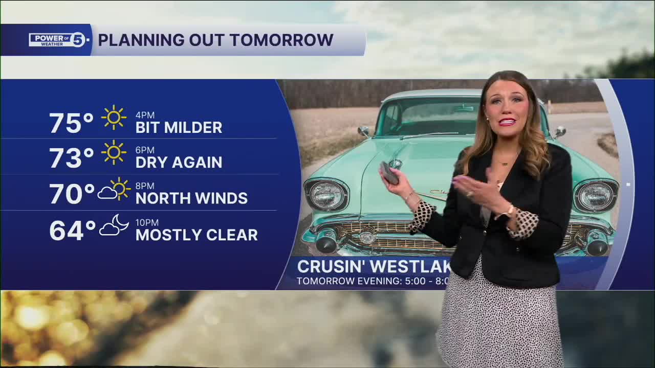
Wednesday: Sunny and seasonable.| High: 76º
Thursday: Mostly sunny and slightly warmer.| High: 80º
Friday: Warmer & humid. Still dry!| High: 85º
Saturday: Warm, humid with scattered storms.| High: 82º
Sunday: Few storms. Muggy.| High: 75º
Want the latest Power of 5 weather team updates wherever you go? Download the News 5 App free now: Apple|Android
Click here to view our interactive radar.
Follow the News 5 Weather Team:
Trent Magill: Facebook & Twitter
Katie McGraw: Facebook & Twitter
Phil Sakal: Facebook & Twitter
Allan Nosoff: Facebook & Twitter
