


CLEVELAND — The rest of your day looks soaked! It took a while for the rain to become widespread, but now you should expect rain until about 5 to 7 am on Wednesday, and it will be steady rain that could be heavy at times.
When all is said and done, 0.50 to 1.5 inches of rain is expected across much of NEO. Some nuisance flooding and river flooding are possible. Widespread rain should end around sunrise on Wednesday. However, a couple of stray showers cannot be ruled out during the afternoon.
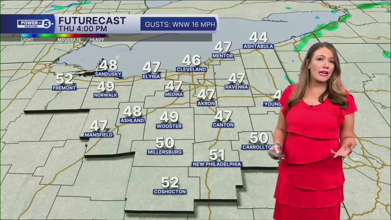
It will also be much cooler again. Temperatures are falling from north to south this evening. 40s are expected by tomorrow morning, and temperatures will struggle for the rest of Wednesday and Thursday. There is only a slim chance of a shower on Thursday.
The 60s should return by Friday, but more rain and storms are expected by then as well. Near normal temperatures should stick around this weekend, but we will likely have to dodge storms while celebrating moms on Sunday.
DAILY FORECAST:
Tuesday Night: Widespread rain overnight. Falling temperatures | Low: 44º
Wednesday: Soaked morning. Stray PM showers. Cooler. | High: 52º
Thursday: Slim chance for a shower. Colder. | High: 51º
Friday: Mostly cloudy. Few showers possible. Not as chilly. | High: 61º
Saturday: Mostly cloudy. Showers possible. Warmer. | High: 69º
Want the latest Power of 5 weather team updates wherever you go? Download the News 5 App free now: Apple|Android
Click here to view our interactive radar.
Follow the News 5 Weather Team:
Trent Magill: Facebook & Twitter
Katie McGraw: Facebook & Twitter
Phil Sakal: Facebook & Twitter
Allan Nosoff: Facebook & Twitter
