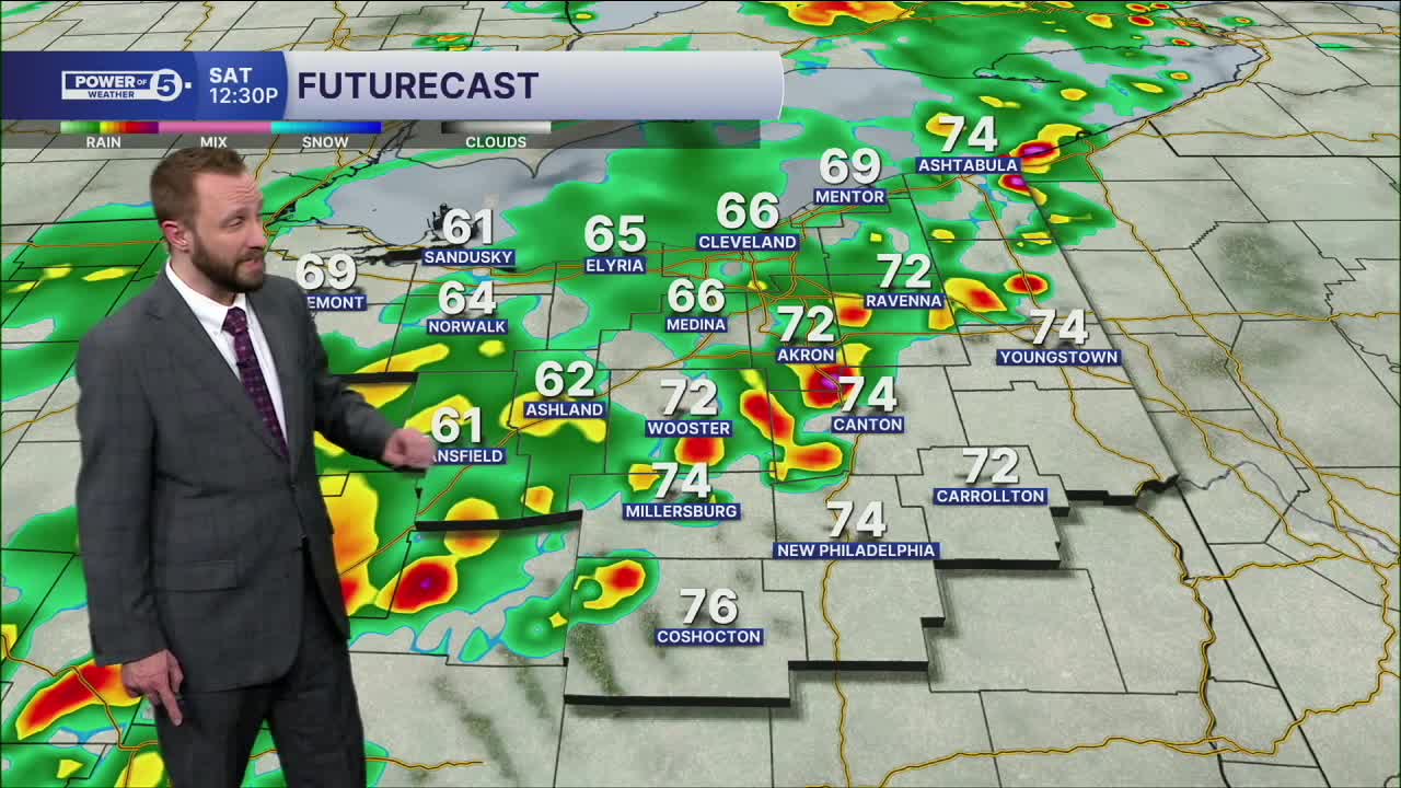


CLEVELAND — Better rain chances return Saturday with a severe storm threat. Temperatures will continue to be well above average, with low 70s on Saturday before the storms arrive. Storms will begin to move in for the second half of the morning into the afternoon from west to east. A few storms could contain large hail, damaging winds and or an isolated tornado, especially east of I-71. Heavy rain will also be a concern, but that will be a more scattered issue for the region.
We then cool down and dry out on Sunday, before more warmth and rain chances return, especially by the middle of the new work week.
DAILY FORECAST:
Saturday: Scattered showers. Few storms. Strong to Severe Possible. Warm again. | High: 72º
Sunday: Mostly dry. Cooler. | High: 57º
Monday: Drier. Partly Sunny. | High: 70º
Tuesday: Showers possible late. Warmer Again. | High: 70º
Wednesday: Showers and few storms. Warm. | High: 60º
Tuesday: Much colder. Isolated flakes. | High: 40º
Want the latest Power of 5 weather team updates wherever you go? Download the News 5 App free now: Apple|Android
Click here to view our interactive radar.
Follow the News 5 Weather Team:
Trent Magill: Facebook & Twitter
Katie McGraw: Facebook & Twitter
Phil Sakal: Facebook & Twitter
Allan Nosoff: Facebook & Twitter
