


CLEVELAND — Sub-Freezing temperatures will linger into Thursday, along with isolated lake effect snow shower chances through early Thursday afternoon. Accumulations under an inch anticipated.
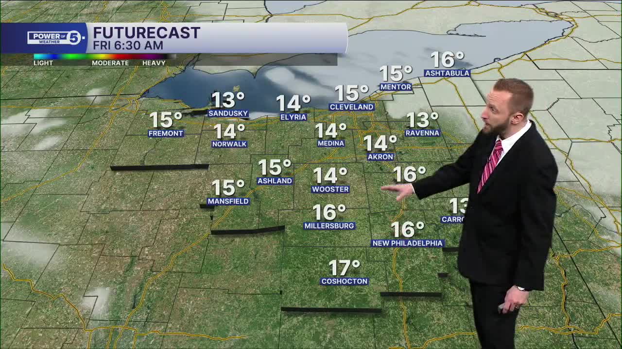
After a colder start to the day on Friday, with many in the Teens at the start of the morning, temperatures will soar back into the mid to upper 30s by Friday afternoon.
Warmer air continues to move in for the weekend into next week, with highs in the 40s, and perhaps above 32° overnight lows by Monday night. Still watching for rain chances on Sunday, otherwise it will be a drier weekend for Valentine's Day plans.
DAILY FORECAST:
Thursday: Isolated lake effect snow. Colder. | High: 28º
Friday: Partly sunny but chilly. | High: 36º
St. Valentine's Day: Dry & seasonable. | High: 40º
Sunday: Warmer. Rain chances south. | High: 40º
President's Day: Warmer. Partly Sunny. | High: 41º
Tuesday: Warmer Again. | High: 48º
Want the latest Power of 5 weather team updates wherever you go? Download the News 5 App free now: Apple|Android
Click here to view our interactive radar.
Follow the News 5 Weather Team:
Trent Magill: Facebook & Twitter
Katie McGraw: Facebook & Twitter
Phil Sakal: Facebook & Twitter
Allan Nosoff: Facebook & Twitter
